
What is recorded here
A modern stone wall built to the E and below traces of an older fortification cuts off a promontory formed by two small inlets, to the SW and NE of the neck of land. Discontinuous stretches of stone show the original wall, the external facing of which can be traced in places, to the height of .7m. The original width of this wall was probably
c. 2.8m. The interior is undulating with rock outcrop, erratics and vegetation. The NE slopes gradually to the sea but the SW is steeper. There are excellent views up Glencolumbkille valley. A cashel (DG080-021002-) is built inside this promontory fort.
The above description was derived from the 'Archaeological Survey of County Donegal. A description of the field antiquities of the County from the Mesolithic Period to the 17th century.' Compiled by: Brian Lacey with Eamon Cody, Claire Cotter, Judy Cuppage, Noel Dunne, Vincent Hurley, Celie O'Rahilly, Paul Walsh and Seán Ó Nualláin (Lifford: Donegal County Council, 1983). In certain instances the entries have been revised and updated.
Date of upload: 22 September 2008
The monument record does not grant public access. Check the route and ask the landowner before entering private land.
- What survives
- Recorded monument
Places near here
 An Trá Bheag (Trá Bheag an Ghleanna)Beach / strand · 1160 yd
 Glencolmcille Folk VillageMuseum · 1442 yd
 Enclosure in Málainn MhóirEnclosure · 1577 yd
 Trá an GhleannaBeach / strand · 1.0 mi
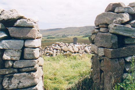 St Columba's CellPenitential station · 1.1 mi
 IndicatedHoly well · 1.1 mi
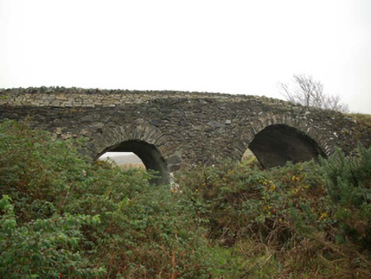 Droichead an tSráidbridge · 1.3 mi
 Rossan PointHeadland · 1.4 mi
 Glencolmcille Old GraveyardGraveyard · 1.5 mi
 Silver Strand ViewpointViewpoint · 3.1 mi
 Rathlin O'Birne IslandIslet · 4.0 mi
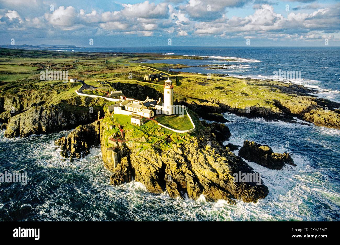 An EibhearIslet · 4.2 mi
Other information
Photo: Nigel Callaghan · CC BY-SA 2.0