What is recorded here
Situated on a rise on a N-facing slope in pasture. Listed as 'Enclosure' in the SMR (1992) and the RMP (1996). Named 'Drumline Fort' on the 1842 and 1921 eds. of the OS 6-inch map. It is not visible at ground level.
Compiled by: Michael Moore
Date of upload: 31 May 2016
The monument record does not grant public access. Check the route and ask the landowner before entering private land.
- What survives
- Recorded monument
Places near here
 LiskylenagappaghFairy fort / earthen ringfort · 569 yd
 Knockreagh FortFairy fort / earthen ringfort · 1062 yd
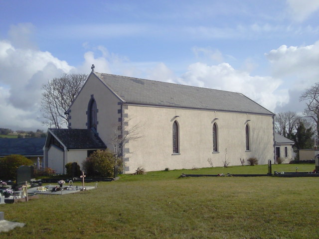 Saint Joseph's Catholic Churchchurch/chapel · 1.1 mi
 Shallee Castle (in Ruins)Castle, tower house · 1.4 mi
 CastleCastle, unclassified · 1.8 mi
 Bushypark Househouse · 1.9 mi
 Poul na gollorCave · 2.6 mi
 Alice and Gwendoline CaveMuseum · 4.2 mi
 Post Office FieldNature reserve · 4.3 mi
 Rockmount WoodWood · 4.4 mi
 Ennis AbbeyMuseum · 4.5 mi
 Clare MuseumMuseum · 4.5 mi