_-_geograph.org.uk_-_2614537.jpg)
What is recorded here
The official Northern Ireland record identifies this as a Grade B+ listed building. Recorded construction date: 1860 - 1879. Current recorded use: Viaduct.
The official record and map point do not grant access. Many historic buildings are privately owned; view them only from public ground unless the owner allows entry.
Places near here
 Dromore ViaductHeritage attraction · 9 yd
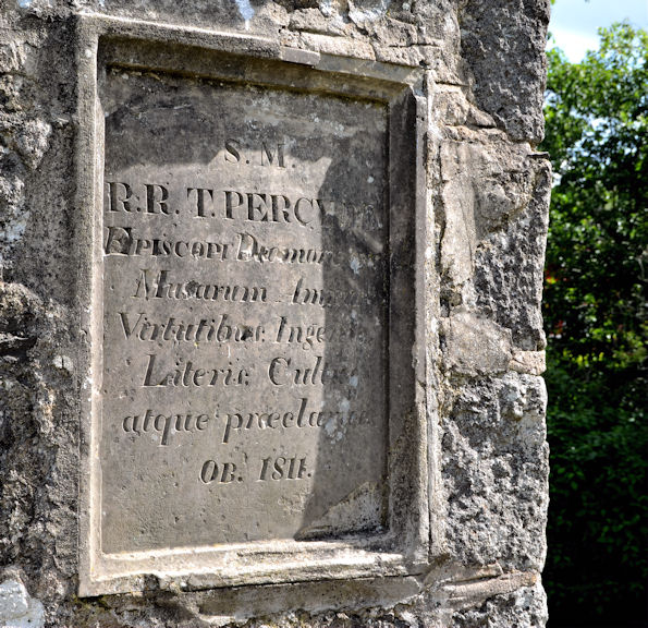 Bishop Thomas Percy MonumentMonument · 307 yd
 St.Colman's Cathedral, on site of PRE-NORMAN MONASTERY & MEDIEVAL CATHEDRAL, with CROSS CARVED STONE in DromoreSt.Colman's Cathedral, on site of PRE-NORMAN MONASTERY & MEDIEVAL CATHEDRAL, with CROSS CARVED STONE · 626 yd
 Cathedral Church of Christ the RedeemerChurch · 627 yd
 Regent BridgeBridge · 649 yd
 Dromore CastleCastle · 673 yd
 TOWER-HOUSE: DROMORE CASTLE in DromoreTOWER-HOUSE: DROMORE CASTLE · 674 yd
 War MemorialMemorial · 846 yd
 CHURCH (Listed) & GRAVEYARD in MagherallyCHURCH (Listed) & GRAVEYARD · 3.9 mi
 Lake TrailWalking route · 4.5 mi
 Hillsborough FortVisitor information · 4.6 mi
 Hillsborough Forest ParkForest · 4.7 mi
Other information
Photo: Albert Bridge · CC BY-SA 2.0