
What is recorded here
Dromineer Castle stands on the eastern shore of Lough Derg, its thick limestone walls recording a transformation from a simple hall-keep into a four-storey tower house during the fifteenth or sixteenth centuries. The south wall still preserves traces of a crenellated parapet, whilst an angle tower once rose above the southwest corner using wicker centring techniques. A bawn wall extends from the northeast angle around the south side, providing an outer line of defence for this strategically positioned stronghold overlooking the waters. The structure reads like a historical document carved in stone, its architectural evolution reflecting the shifting defensive needs and architectural fashions of medieval Ireland.
Dromineer Castle is recorded as a castle in County Tipperary. Its open map record supplies this location and any linked names or public references.
Dromineer Castle was built in the 15th century by the Butler family, powerful Anglo-Norman lords in Ireland. It is remembered as a strategic stronghold in the historical conflict between the Butlers and the Fitzgeralds for control of the region.
Places near here
 DromineerSettlement deserted, medieval · 148 yd
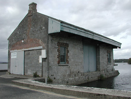 store/warehousestore/warehouse · 157 yd
 Goose IslandIslet · 160 yd
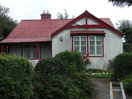 The Bungalowhouse · 209 yd
 Dromineer BayBay · 977 yd
 Enclosure in ShannonvaleEnclosure · 1052 yd
 Connaught BayBay · 1540 yd
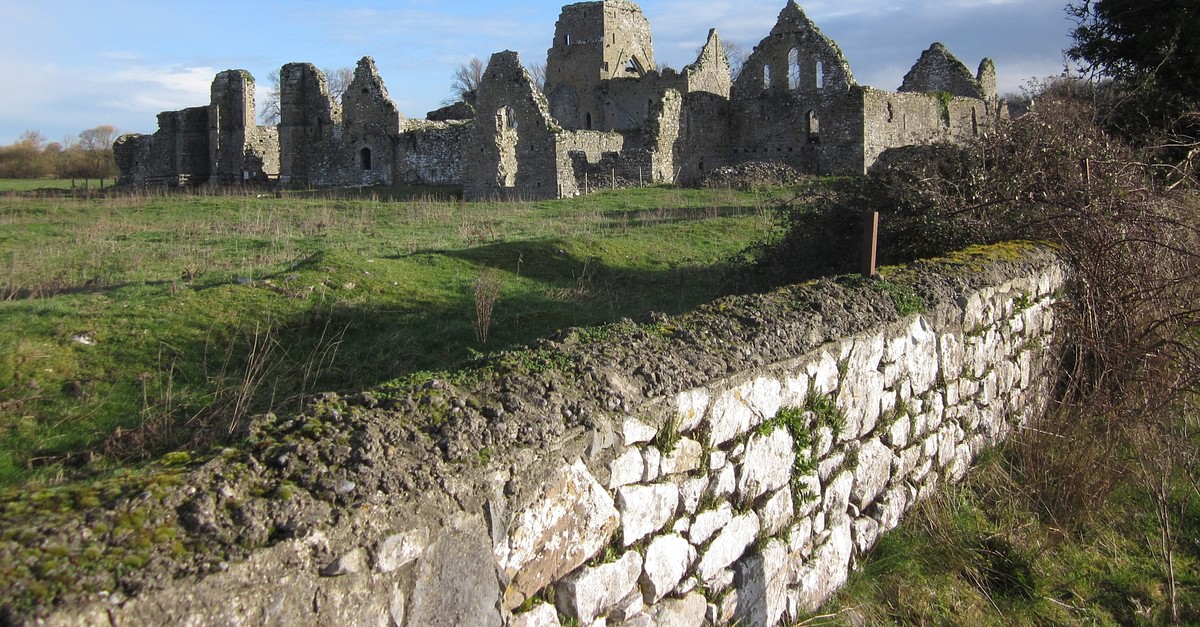 Bawn in UrraBawn · 1.4 mi
 Site of Castle SheelaCastle, tower house · 1.5 mi
 Buggane IslandIslet · 2.1 mi
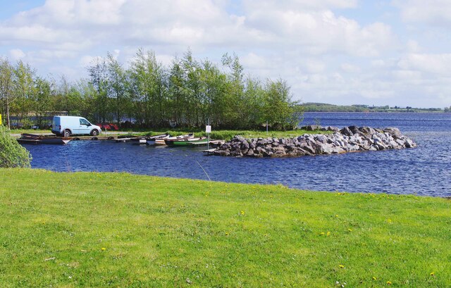 Lough DergNationally known place · 2.1 mi
 Knigh HillMountain / peak · 2.4 mi
Other information
Photo: Mike Searle · CC BY-SA 2.0