What is recorded here
Situated on the shoulder of a hillock in low-lying land. Annotated as ‘Doyle’s Well’ on the 1837 ed. OS 6-inch map. A pile of stones and a lone thorn tree mark the site of the well that was filled in with stone by the landowner in the late 1970s or early 1980s as livestock were falling into the well. According to the landowner there was no tradition of it ever having been a holy well.
Compiled by: Frank Coyne and Caimin O'Brien
Date of upload: 7 June 2017
The monument record does not grant public access. Check the route and ask the landowner before entering private land.
- What survives
- Recorded monument
Places near here
 OutlinedHoly well · 282 yd
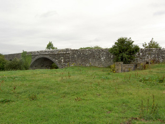 Ballynacarrow Bridgebridge · 722 yd
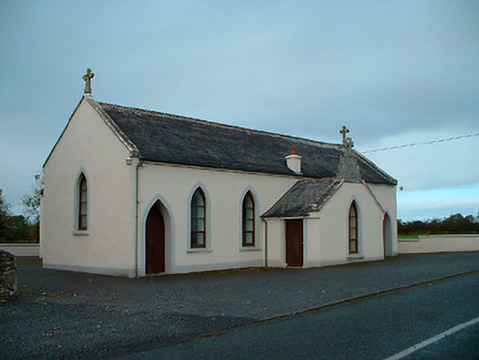 Saint Matthew's Catholic Churchchurch/chapel · 1296 yd
 Bawn in EmperBawn · 1.1 mi
 Enclosure in AgharraEnclosure · 1.2 mi
 Common AlderCommon Alder · 1.9 mi
 Site of CastleCastle, unclassified · 2.0 mi
 European BeechEuropean Beech · 2.1 mi
 Abbeyshrule AbbeyRuins · 2.6 mi
 Goldsmith Birthplace, PallasVisitor information · 4.6 mi
 Craft WorkshopHeritage attraction · 4.9 mi
 Guest ServicesVisitor information · 5.0 mi