What is recorded here
At the crest towards the NW end of a low NW-SE ridge. Circular grass-covered area (diam. 40.3m E-W; 37.6m N-S) defined by an overgrown earthen bank (at W: Wth 2.8m; int. H 0.3m; ext. H 0.5m; generally: Wth 4-4.3m; int. H 0.45-0.9m; ext. H 1.1-1.3m), with internal facing stones E-SE, which is separated by a flat-bottomed fosse (Wth of base 4.3-5.7m; D 0.1-0.3m) from the base of a destroyed bank (Wth 4.7-5.8m; ext. H 0.1-0.4m), which cannot be traced S-SW. This is surrounded by a flat-bottomed fosse (Wth of base 4.2-4.8m) and a third outer overgrown bank (Wth 3.5-5,5m; int. H 0.5m; ext. H 0.7-0.9m) which survives SE-W-NW and can be traced as a low mound (Wth 5-6.2m; int. H 0.1-0.2m; ext. H 0.1-0.4m) at N and NE-SE. There is a widened entrance (Wth 5m) through the inner bank at SE (max. ext. diam. 84.2m E-W; 83.8m N-S).
Compiled by: Michael Moore
Date of upload: 24 August 2010
The monument record does not grant public access. Check the route and ask the landowner before entering private land.
- What survives
- Recorded monument
Places near here
 Embanked enclosureFairy fort / earthen ringfort · 491 yd
 Casatle (ruins)Castle, unclassified · 505 yd
 IndicatedChapel · 875 yd
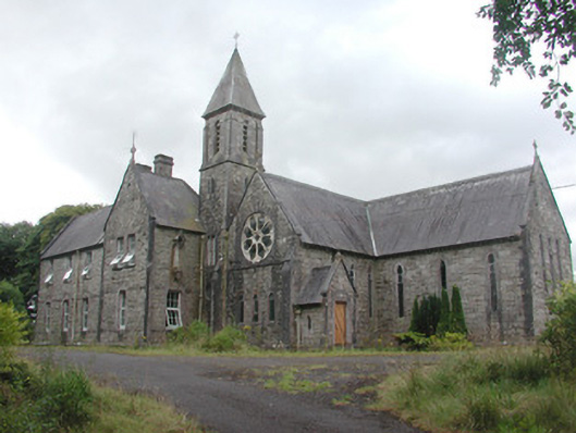 Saint Mary's Conventconvent/nunnery · 1520 yd
 Crunaun Castle (in ruins)Castle, unclassified · 1.1 mi
 Ardkill Old Child Burial GroundArchaeological place · 2.2 mi
 Bockagh HillMountain / peak · 2.8 mi
 Druminagh WoodForest · 5.6 mi
 Fairymount HillMountain / peak · 6.1 mi
 Bawn IslandIslet · 6.9 mi
 Rose PointHeadland · 7.5 mi
 Castle PointHeadland · 7.8 mi