What is recorded here
At SW end of a low ridge in pastureland. A poorly preserved subcircular enclosure (N-S 17.2m, E-W 15m) defined by the natural slopes of the ridge at NW and SE, by a curving td. boundary wall at NE and by a footpath at SW. The interior contains a graveyard (GA041-017----) and there is a house (GA041-023----) c. 30m to NE.
The above description is derived from the published 'Archaeological Inventory of County Galway Vol. II - North Galway'. Compiled by Olive Alcock, Kathy de hÓra and Paul Gosling (Dublin: Stationery Office, 1999).
Date of upload: 05 August 2010
The monument record does not grant public access. Check the route and ask the landowner before entering private land.
- What survives
- Recorded monument
Places near here
.jpg?width=1280) Court tomb in CarrownakibCourt tomb · 592 yd
Court tomb in CarrownakibCourt tomb · 592 yd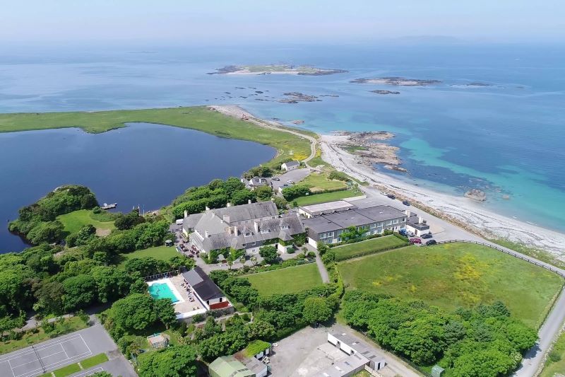 UainmoreMan-made underground passage · 905 yd
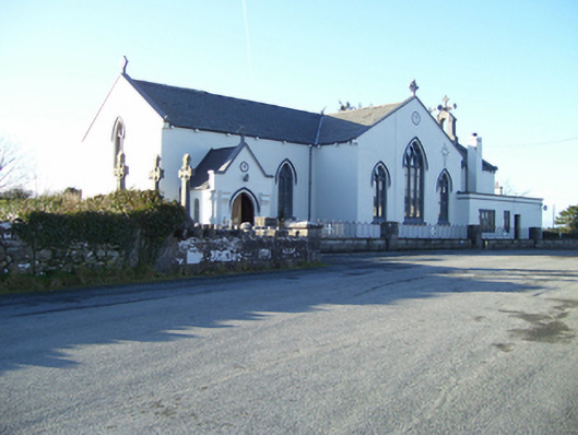 Saint Mary's Catholic Churchchurch/chapel · 1163 yd
 MillWater mill, unclassified · 1237 yd
 Annaghkeen CastleCastle · 1700 yd
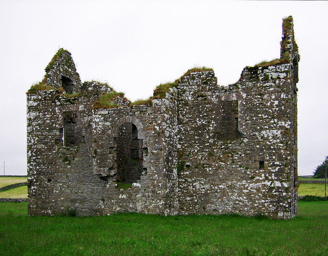 Annaghkeen Castle (in Ruins)Castle, Anglo-Norman masonry castle · 1704 yd
 BallynacreggaWood · 1.4 mi
 Rabbit IslandIslet · 1.9 mi
 Freeheen IslandIslet · 2.2 mi
 Ross Errilly FriaryHeritage attraction · 2.5 mi
 Brigit's GardenHeritage attraction · 5.1 mi
 Ballinduff BayBay · 5.9 mi