What is recorded here
Doonaun Fort is a subcircular enclosure at the SW end of a low ridge in County Galway, bounded by natural slopes, a curving wall, and a footpath. It measures 17.2m north-south and 15m east-west, with a graveyard inside and a house 30m to the NE. The pastureland setting suggests people lived beside this marked space, perhaps using the ridge for visibility or the enclosure for gathering. Its poor preservation means much has vanished, but the boundary remains clear enough to show where the fort stood and why the land still remembers it.
At SW end of a low ridge in pastureland. A poorly preserved subcircular enclosure (N-S 17.2m, E-W 15m) defined by the natural slopes of the ridge at NW and SE, by a curving td. boundary wall at NE and by a footpath at SW. The interior contains a graveyard (GA041-017----) and there is a house (GA041-023----) c. 30m to NE.
The above description is derived from the published 'Archaeological Inventory of County Galway Vol. II - North Galway'. Compiled by Olive Alcock, Kathy de hÓra and Paul Gosling (Dublin: Stationery Office, 1999).
Date of upload: 05 August 2010
The monument record does not grant public access. Check the route and ask the landowner before entering private land.
- What survives
- Recorded monument
Places near here
.jpg?width=1280) Court tomb in CarrownakibCourt tomb · 592 yd
Court tomb in CarrownakibCourt tomb · 592 yd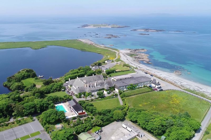 UainmoreMan-made underground passage · 905 yd
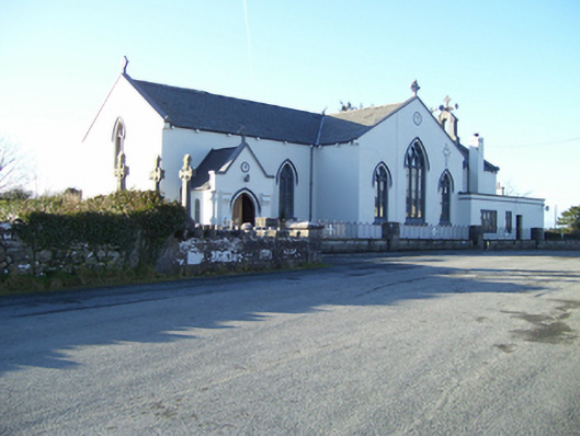 Saint Mary's Catholic Churchchurch/chapel · 1163 yd
 MillWater mill, unclassified · 1237 yd
 Annaghkeen CastleCastle · 1700 yd
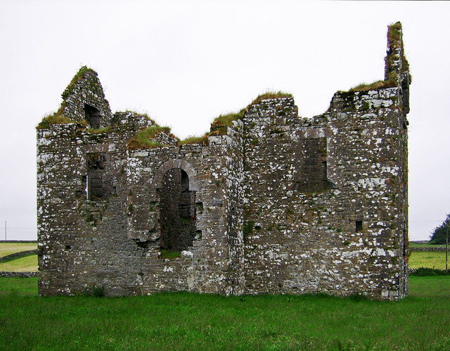 Annaghkeen Castle (in Ruins)Castle, Anglo-Norman masonry castle · 1704 yd
 BallynacreggaWood · 1.4 mi
 Rabbit IslandIslet · 1.9 mi
 Freeheen IslandIslet · 2.2 mi
 Ross Errilly FriaryHeritage attraction · 2.5 mi
 Brigit's GardenHeritage attraction · 5.1 mi
 Ballinduff BayBay · 5.9 mi