
What is recorded here
Doon Rock, meaning a fort in Irish, projects from the eastern shore of Lough Mask as the inauguration site for the Burke lords. New rulers were raised upon this stone before assembled vassals, turning a rocky outcrop into the legal heart of a great Hiberno-Norman dynasty. The Burkes adopted Irish customs until they became indistinguishable from their Gaelic neighbours, yet they still returned to this particular rock to declare succession under the open sky. What began as a military stronghold became a ceremonial stage where political legitimacy was performed rather than simply inherited.
Doon Rock is recorded as a islet in County Mayo. Its open map record supplies this location and any linked names or public references.
Places near here
 Church (in Ruins)Church · 764 yd
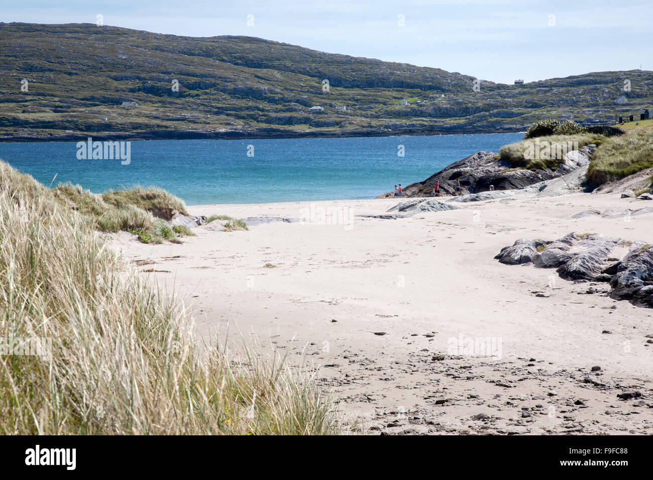 Sweathouse in Derrymore (kilmaine By.)Sweathouse · 844 yd
 TobercolumbkilleHoly well · 1145 yd
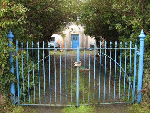 Drimcoggy Lodgefarm house · 1.3 mi
 Eel IslandIslet · 1.8 mi
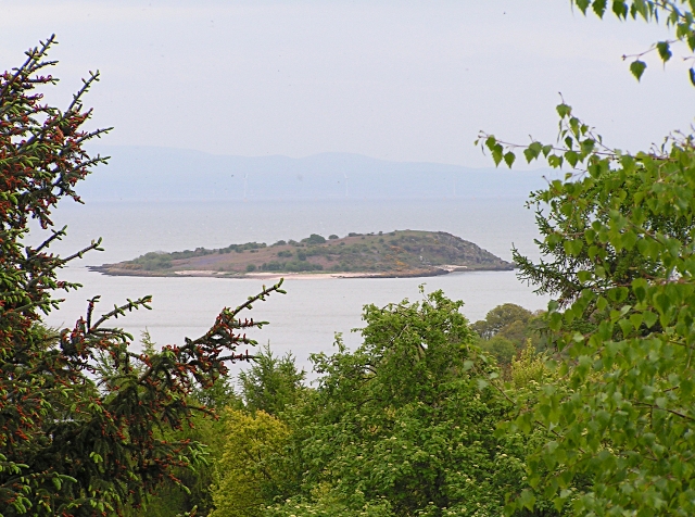 Rough IslandIsland · 2.0 mi
 Caislen-na-CirceCastle, tower house · 3.3 mi
 Coill Thuar Mhic ÉadaighWood · 3.5 mi
 Doon WoodWood · 3.5 mi
 Castle in ruinsCastle, unclassified · 3.6 mi
 Kiltoom PointHeadland · 3.7 mi
 Devenish RocksNamed rock · 3.9 mi
Other information
Photo: Credit not shown in the picture search · Rights wording not checked; contact us if this picture should be removed