What is recorded here
Donaghaguy Rath is an archaeological place in County Down where modern planning applications have repeatedly brushed against its ancient boundary. The rath likely marked local authority or ritual life before written records, yet it now appears only in documents about nearby development. Its survival depends on whether people still recognise that a raised earthwork can be a living witness rather than an obstacle to progress.
Donaghaguy Rath is recorded as a archaeological place in County Down. Its open map record supplies this location and any linked names or public references.
Places near here
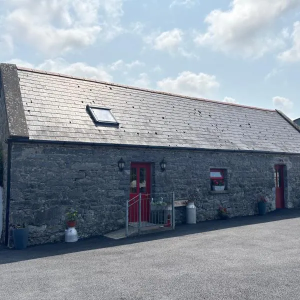 A.P. SITEA.P. SITE, bivallate enclosure · 770 yd
 ENCLOSURE in BallydeslandENCLOSURE · 1148 yd
 Warrenpoint ambushambush · 1604 yd
 Narrow Water WatchtowerVisitor information · 1664 yd
 TOWER-HOUSE AND BAWN: NARROW WATER CASTLE in Narrow WaterTOWER-HOUSE AND BAWN: NARROW WATER CASTLE · 1668 yd
 Narrow Water KeepHeritage attraction · 1681 yd
 Joanne ReillyMemorial · 1709 yd
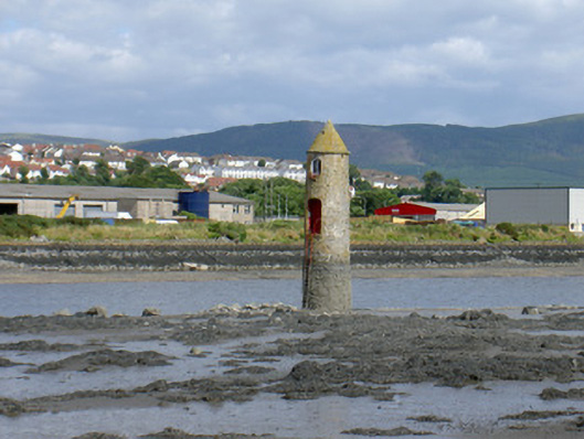 Newry River Lighthouse (Front)beacon · 1730 yd
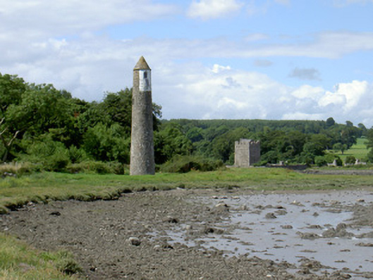 Newry River Lighthouse (Rear)beacon · 1.0 mi
 Narrow Water CastleCastle · 1.0 mi
 Dobbin's PointHeadland · 1.5 mi
 Carlingford Lough GreenwayWalking route · 2.4 mi