What is recorded here
Situated on a slight E-facing slope. The tomb has collapsed, but it is oriented N-S and faces N. At present it consists of a large roofstone resting on two portal stones, two sidestones and a split backstone but these stones have fallen inwards. (Grattan Flood 1912, 15-17: Ó Nuallain 1983, 103)
The above description is derived from the published 'Archaeological Inventory of County Wexford' (Dublin: Stationery Office, 1996). In certain instances the entries have been revised and updated in the light of recent research.
Compiled by: Michael Moore
Date of upload/revision: 16 October, 2012
Portal dolmen; likely dates to the Neolithic period. Its orientation and structural remains provide insight into early megalithic funerary practices in the region.
The monument record does not grant public access. Check the route and ask the landowner before entering private land.
- What survives
- Recorded monument
Places near here
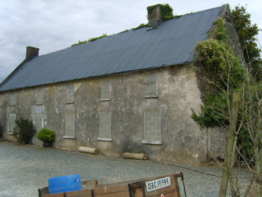 Newbawn Housefarm house · 679 yd
 graveyard/cemeterygraveyard/cemetery · 724 yd
 Castle (in ruins)Castle, tower house · 825 yd
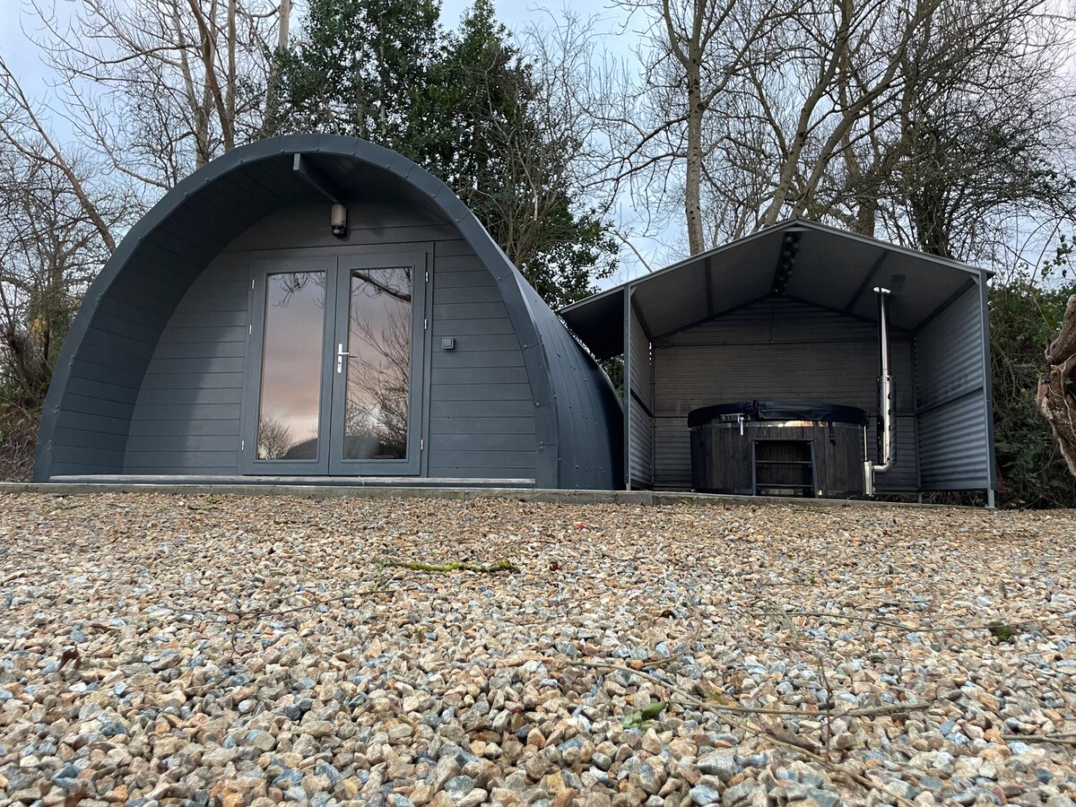 Embanked enclosureFairy fort / earthen ringfort · 1573 yd
 Enclosure in BallyclemockEnclosure · 1.2 mi
 Carrickbyrne HillMountain / peak · 2.1 mi
 Castle in ruinsCastle, tower house · 2.2 mi
 Coolcliffe HouseRuins · 3.6 mi
 Glenour MonumentMemorial · 4.3 mi
 Camaross HillMountain / peak · 4.5 mi
 Forest Of The DunbrodyForest · 6.2 mi
 Carrig-On-BannowVisitor information · 7.3 mi