
What is recorded here
In pasture, on N-facing slope of low hill overlooking Glashaboy River valley. Tomb is incorporated in field fence extending E-W. Gallery (L c. 6.2m; Wth 1.2m at E end) is represented by five sidestones along N side of fence and two along S side. Edges of four overlapping roofstones protrude from fence above N sidestones which decrease in height from W to E. Single outer-wall stone stands immediately N of fence. Despite its ruined condition monument is clearly of wedge tomb class. (de Valera and Ó Nualláin 1982, 4-5, no. 5)
The above description is derived from the published 'Archaeological Inventory of County Cork. Volume 4: North Cork' (Dublin: Stationery Office, 2000). In certain instances the entries have been revised and updated in the light of recent research.
Date of upload/revision: 14 January 2009
See linked document with details from Ruaidhrí de Valera and Seán Ó Nualláin, Survey of the Megalithic Tombs of Ireland. Volume IV. Counties Cork, Kerry, Limerick, Tipperary. (Dublin: Stationery Office, 1982)
Portal dolmen; dates to the Neolithic period. Its orientation and location suggest it was part of a broader ritual landscape associated with early farming communities in the region.
The monument record does not grant public access. Check the route and ask the landowner before entering private land.
- What survives
- Recorded monument
Places near here
 LisheentoortaghFairy fort / earthen ringfort · 1415 yd
 EnclosureArchaeological place · 1538 yd
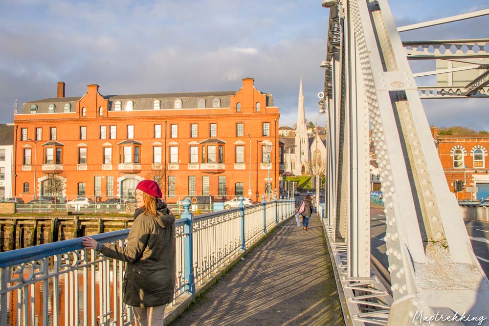 Monkeys BridgeBridge · 1.7 mi
 Kilcolman Lodgehouse · 2.8 mi
 Bweeng LittleMountain / peak · 2.9 mi
 Lyradane MountainMountain / peak · 3.3 mi
 Knockduff Wind FarmVisitor information · 3.7 mi
 New TipperaryVisitor information · 3.8 mi
 Castle Barrett (in Ruins)Castle, Anglo-Norman masonry castle · 3.9 mi
 Castle BarrettCastle · 3.9 mi
 Saint Bartholomew's WellSpring · 5.6 mi
 KnockarouraForest · 5.7 mi
Other information
Photo: Credit not shown in the picture search · Rights wording not checked; contact us if this picture should be removed