What is recorded here
On a N-facing slope in grassland. Marked 'Dolmen' on 3rd ed. of OS 6-inch map (1932) and represented as a small oval enclosure (NW-SE c. 10m, NE-SW c. 5m). According to de Valera and Ó Nualláin (1972, 27), 'Two prostrate slabs, 3.00m and 2.50m respectively in maximum dimension, lying at the road fence, may have formed part of the monument before its destruction'. It was levelled during land reclamation and, apart from the slabs, no visible surface trace survives.
The above description is derived from the published 'Archaeological Inventory of County Galway Vol. II - North Galway'. Compiled by Olive Alcock, Kathy de hÓra and Paul Gosling (Dublin: Stationery Office, 1999).
Date of upload: 05 August 2010
The monument record does not grant public access. Check the route and ask the landowner before entering private land.
- What survives
- Recorded monument
Places near here
 Church (in Ruins)Church · 426 yd
 Water millWater mill, vertical-wheeled · 460 yd
 LismoreFairy fort / earthen ringfort · 862 yd
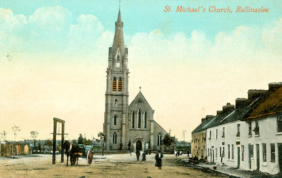 Man-made underground passage in Ballinlass (ballymoe By.)Man-made underground passage · 1615 yd
 Dunmore CastleCastle · 2.0 mi
 Castle in ruinsCastle, unclassified · 3.7 mi
 Slieve DartMountain / peak · 4.5 mi
 European ashEuropean ash · 8.3 mi
 Mass RockNamed rock · 10 mi
 SycamoreSycamore · 11 mi
 Quarry in Addergoole MoreQuarry · 533 yd
 Penitential station in KilluneyPenitential station · 1647 yd