
What is recorded here
Devil's Thumb is recorded as a named rock in County Derry. Its open map record supplies this location and any linked names or public references.
Devil's Thumb is a prominent coastal rock feature composed primarily of basalt, formed during the Palaeogene period (approximately 60 to 55 million years ago) as part of the basaltic lava flows associated with the Antrim Plateau. It is notable for its distinctive thumb-like shape, likely sculpted by differential erosion along the coastline.
Places near here
 BinevenaghMountain / peak · 681 yd
 Binevenagh ViewViewpoint · 819 yd
 Aidan's WellSpring · 1525 yd
 Swann's BridgePicnic place · 1694 yd
 Bellarena SchoolSchool · 1.1 mi
 ENCLOSURE: DUNPATRICK in DuncrunENCLOSURE: DUNPATRICK · 1.3 mi
 CHURCH SITE & CROSS CARVED STONE: CHURCH HILL or CANON'S BRAE in DuncrunCHURCH SITE & CROSS CARVED STONE: CHURCH HILL or CANON'S BRAE · 1.4 mi
 Aghanloo Church of Ireland ChurchChurch · 1.7 mi
 Ballyhanna ForestForest · 2.4 mi
 DrenaghCastle · 4.1 mi
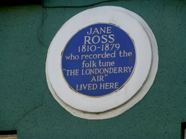 Where Jane Ross recorded Danny BoyMemorial · 4.4 mi
 Keady MountainMountain / peak · 4.6 mi
Other information
Photo: Credit not shown in the picture search · Rights wording not checked; contact us if this picture should be removed