What is recorded here
Marked as a subcircular wooded enclosure (dims. c. 60m N-S; c. 50m E-W) on the 1840 ed. of the OS 6-inch map, the perimeter of which formed the townland boundary with Adamstown S-NW. It is marked as a larger subrectangular wood (dims. c. 200m NE-SW; c. 60m NW-SE) on the 1926 ed. It is situated towards the top of a NW-facing slope and consists of a mature deciduous wood. Archaeological testing (03E0412) failed to produce any evidence of an antiquity. (Clarke 2006)
Compiled by: Michael Moore
Date of upload/revision: 20th December, 2010.
The monument record does not grant public access. Check the route and ask the landowner before entering private land.
- What survives
- Recorded monument
Places near here
 Hut site in Adamstown (middlethird By., Kilmeadan Par.)Hut site · 672 yd
 Kiln in Adamstown (middlethird By., Kilmeadan Par.)Kiln · 963 yd
 Fulacht fia in Ballyduff EastFulacht fia · 1012 yd
 Sweet micheliaSweet michelia · 1031 yd
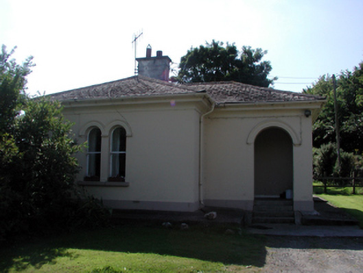 Whitfield Housegate lodge · 1095 yd
 Site of CastleCastle, unclassified · 1096 yd
 Monterey CypressMonterey Cypress · 1138 yd
 CastleCastle, unclassified · 1395 yd
 Waterford & Suir Valley RailwayHeritage attraction · 1579 yd
 Mount Congreve GardensHeritage attraction · 1637 yd
 Donnell's HillMountain / peak · 4.7 mi
 Ballyscanlon HillMountain / peak · 4.8 mi