What is recorded here
In a flat, low-lying and poorly-drained N-S valley. D-shaped grass and rush-covered area (int. dims 50.2m N-S; c. 32.4m E-W) defined by a flat-bottomed fosse (Wth of top 3.5m-4.6m; Wth of base 2.3m-3m; D 0.1m-0.3m) with a stoney entrance causeway (Wth 4.2m) at SE. The W side is truncated by NNW-SSE field drains and banks, and there are tree stumps in the interior, particularly in the area immediately inside the perimeter. It is not marked on any map, but was probably created as a coppice in the later 19th century.
Compiled by: Michael Moore
Date of upload: 24 August 2010
The monument record does not grant public access. Check the route and ask the landowner before entering private land.
- What survives
- Recorded monument
Places near here
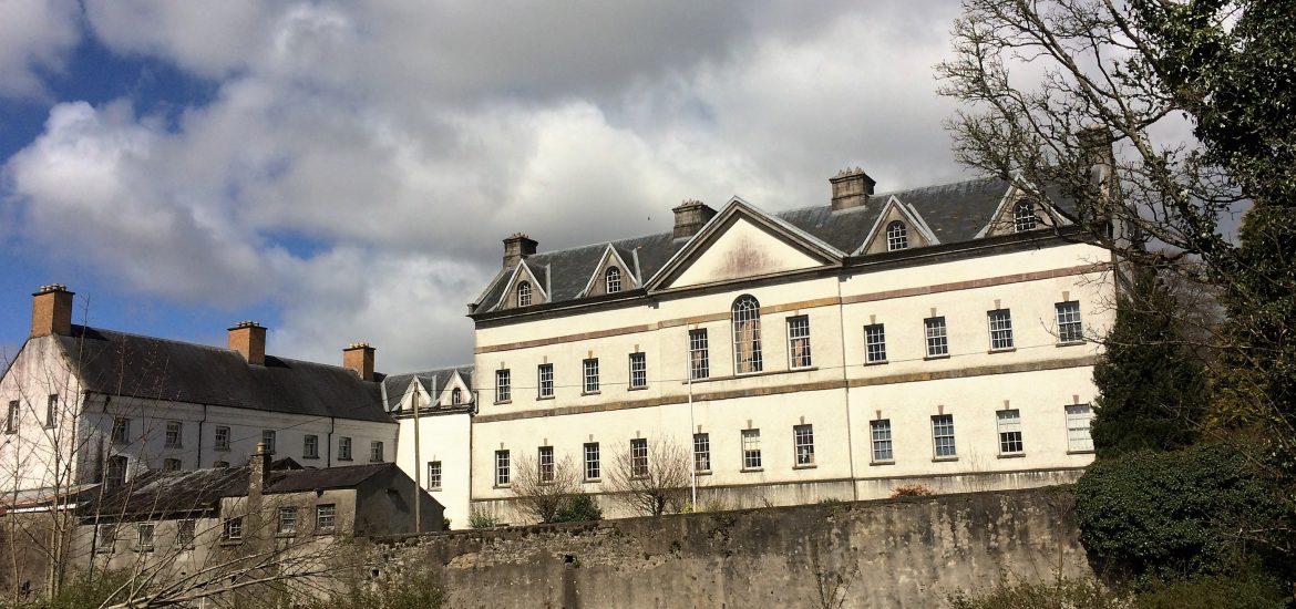 IndicatedCastle, unclassified · 388 yd
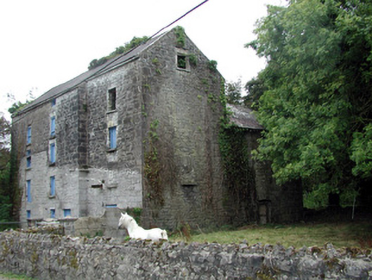 Lecarrow Millmill (water) · 1670 yd
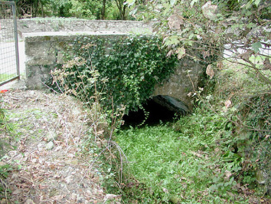 bridgebridge · 1685 yd
 Embanked enclosureFairy fort / earthen ringfort · 1752 yd
 St. Johns WellHoly well · 1.1 mi
 CastleCastle, tower house · 1.4 mi
 Galey BayBay · 1.8 mi
 Blackbrink BayBay · 1.8 mi
 Hangman's HillMountain / peak · 1.9 mi
 Dogs IslandIslet · 2.6 mi
 St. John's WoodWood · 2.7 mi
 Sedgy IslandIslet · 2.8 mi