What is recorded here
Appears as a tree-ring on the 1839 'OS 6-inch' map. No visible remains at ground level.
Compiled by: Claire Breen
Date of upload: 19 August 2011
The monument record does not grant public access. Check the route and ask the landowner before entering private land.
- What survives
- Recorded monument
Places near here
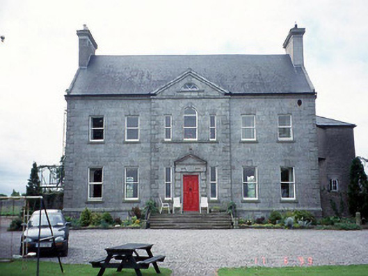 Sherwood Park Housecountry house · 248 yd
 Church in KilbrideChurch · 484 yd
 Altamont Gardens MapVisitor information · 1108 yd
 Altamont House and GardensHeritage attraction · 1163 yd
 Scots PineScots Pine · 1314 yd
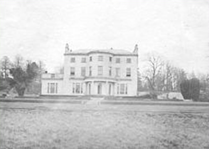 Enclosure in BallintempleEnclosure · 1351 yd
 Enclosure in BogganEnclosure · 1416 yd
 Church (in ruins), GraveyardChurch · 2.3 mi
 Castlegrace MoatCastle, motte · 2.4 mi
 English hollyEnglish holly · 2.9 mi
 Clonogan Castle (site of)Castle, unclassified · 3.5 mi
 Barragh Church (in ruins), GraveyardChurch · 3.8 mi