What is recorded here
Situated on an N-facing slope in pasture. This potential monument is not marked on the 1837 OS 6-inch map. On the 1940 edition of OS 6-inch map it is depicted as a circular hachured feature lying within woodland associated within the demesne of 'Cummeen House'. The woodland has been removed and the area is now used for pasture. There are no surviving remains above ground level. This is in all probability a levelled landscape feature.
Compiled by: Patrick F. O'Donovan
Date of upload: 21 April 2011
This remains an important historical record, but the official description says the monument is no longer visible or has been destroyed. The monument record does not grant public access. Check the route and ask the landowner before entering private land.
- What survives
- No visible remains or recorded as destroyed
Places near here
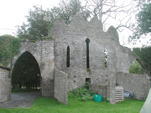 Cummeen Househouse · 134 yd
 Enclosure in CummeenEnclosure · 281 yd
 Stone CircleEnclosure · 416 yd
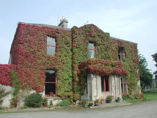 Woodville Househouse · 1042 yd
 Carrowmore Megalithic CemeteryHeritage attraction · 1.7 mi
 Carrowmore Visitors CentreVisitor information · 1.8 mi
 St. John's CathedralMemorial · 1.8 mi
 Famine MemorialMonument · 1.8 mi
 CastleCastle, Anglo-Norman masonry castle · 1.8 mi
 Discover IrelandVisitor information · 1.9 mi
 Knocknarea trailWalking route · 2.3 mi
 Castle (in Ruins)Castle, unclassified · 2.4 mi