What is recorded here
Reported to the National Monuments Service by Eoin Kernan (Sept. 2008-). This feature is depicted as a copse on the 1948-9 ed. of the OS 6-inch map. It comprises a small approx circular area (diam. c. 10m) defined by a bank of earth and stone. The enclosed area is occupied by scrub and some lage slabs. This should probably be interpreted as a landscape feature associated with 'Ballymacool House' a short distance to the E, into which field clearance debris has been placed.
Compiled by: Patrick F. O'Donovan
Date of upload: 19 July 2010
The monument record does not grant public access. Check the route and ask the landowner before entering private land.
- What survives
- Recorded monument
Places near here
 Ballymacool Stone RingfortFairy fort / stone ringfort · 531 yd
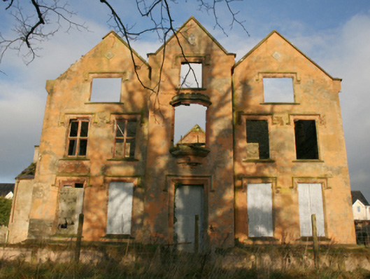 Ballymacool Housecountry house · 555 yd
 Ballymacool Drumhill Fairy Fort and CaveFairy fort / ringfort · 648 yd
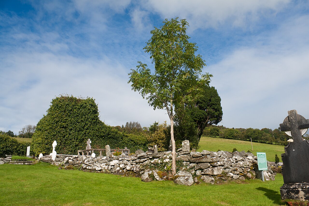 Conwal Old ChurchChurch · 952 yd
 Bawn in LetterkennyBawn · 1.3 mi
 Battle of Scarrifholisbattle · 1.5 mi
 Site of Castle SollusCastle, unclassified · 1.5 mi
 Donegal County MuseumMuseum · 1.5 mi
 Newmills Corn and Flax MillsHeritage attraction · 1.9 mi
 Gregory HillMountain / peak · 2.2 mi
 Stackarnagh Abbey GraveyardGraveyard · 3.8 mi
 European YewEuropean Yew · 5.7 mi