What is recorded here
Craig (1969, 329) mentions agarden which is shown on Brooking's map (1728) and Rocque's map (1756). Archaeological excavations were carried out in 1976 to verify the accuracy of Rocque's map. The remains of cobbled garden paths were uncovered in association with late 18th century pottery and some clay pipes (Sweetman 1976, 32).
The monument record does not grant public access. Check the route and ask the landowner before entering private land.
- What survives
- Recorded monument
Places near here
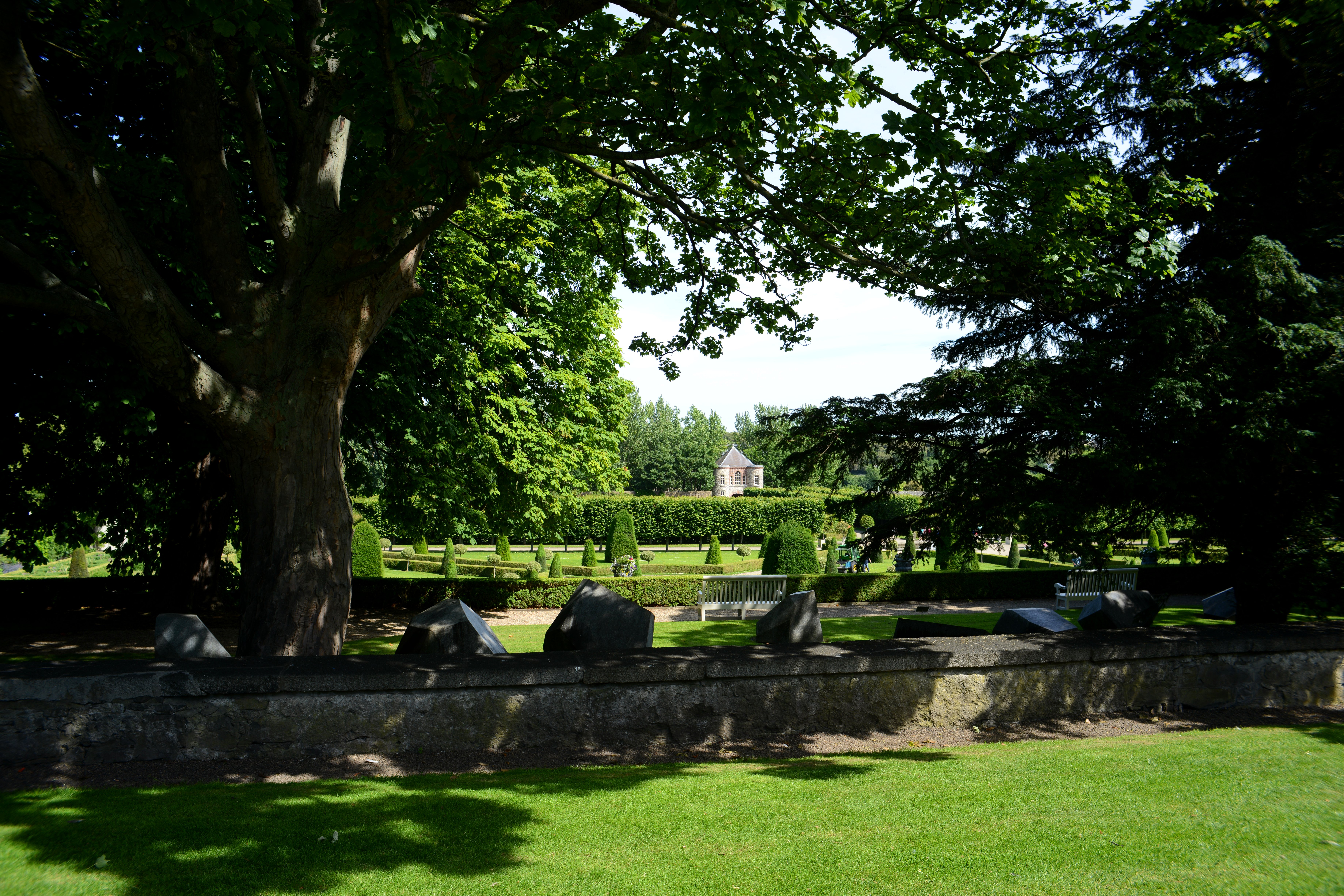 The Formal Garden at The Royal Hospital KilmainhamHeritage attraction · 10 yd
 Gairdín Foirmiúil Ospidéal Ríoga Chill MhaighneannVisitor information · 97 yd
 Irish Museum of Modern Artwater tower · 178 yd
 Royal Hospital KilmainhamHeritage attraction · 181 yd
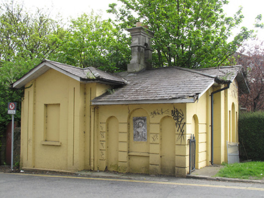 gate lodgegate lodge · 272 yd
 Ancient MonumentCross · 465 yd
 Chapelizod BypassMemorial · 574 yd
 Bus Route InformationVisitor information · 675 yd
 Executions of the leaders of the 1916 risingMemorial · 742 yd
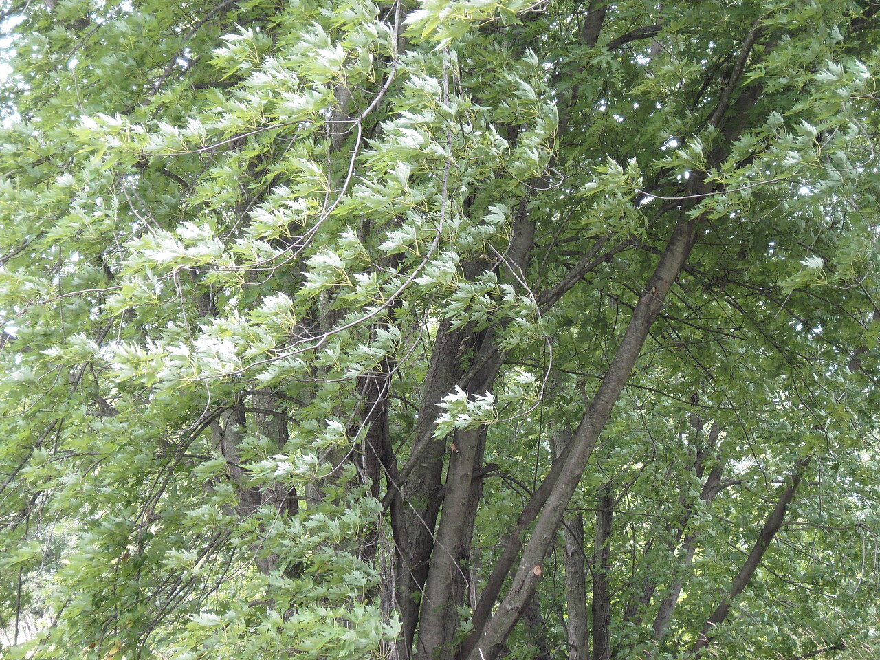 Silver mapleSilver maple · 796 yd
 gates/railings/wallsgates/railings/walls · 300 yd