What is recorded here
Listed as an 'enclosure' in the SMR (1986) based on aerial photographic evidence (GSI N 332/333/334 (1973)). This is a rectangular landscape feature within Russborough Demesne and is not the remains of an archaeological monument.
Compiled by: Matt Kelleher
Date of upload: 07 December 2012
The monument record does not grant public access. Check the route and ask the landowner before entering private land.
- What survives
- Recorded monument
Places near here
 Enclosure in RussboroughEnclosure · 400 yd
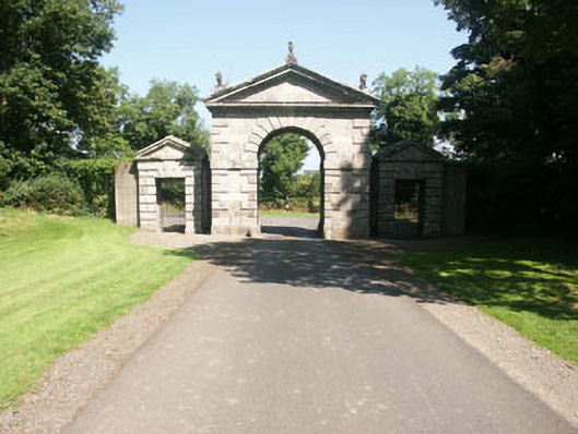 Russborough Housegates/railings/walls · 418 yd
 Artisans WorkshopsHeritage attraction · 652 yd
 National Bird of Prey CentreHeritage attraction · 698 yd
 Enclosure in GlashinaEnclosure · 1258 yd
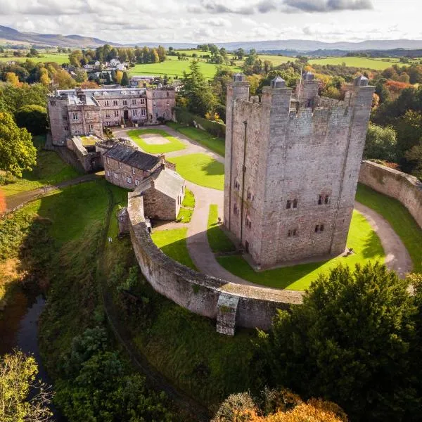 CastleCastle, ringwork · 1.1 mi
 Castle (in ruins)Castle, tower house · 1.2 mi
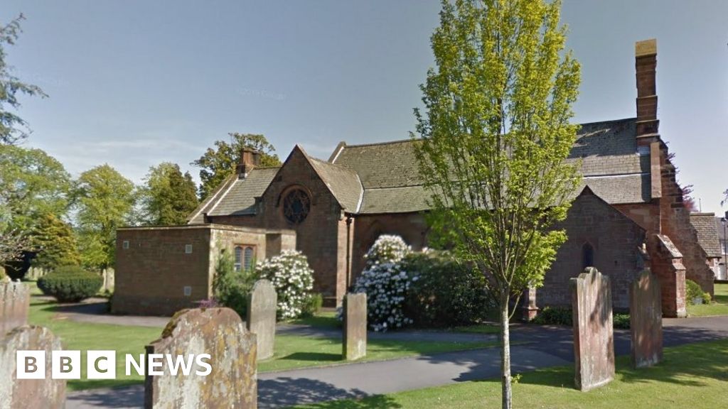 Church (in Ruins), Grave Yd., St. Marks Cross, HChurch · 1.2 mi
 Councillor Jim MileyMemorial · 2.0 mi
 Proclamation of the Irish RepublicMemorial · 2.0 mi
 Blessington DemesneWood · 2.3 mi
 Deer Park PlantationForest · 2.4 mi