What is recorded here
Situated on the NW face of a natural rise in the Deerpark of Killua Castle located 400m to NNE. A folly depicted on the 1837 ed. OS 6-inch map as 'Monument' in Gothic script is located 120m to NNE. A circular earthen mound (diam. 9.25m; H 4.5m) defined by a scarp and narrow external fosse (Wth 2.5m; D 0.5m). Could be the remains of a designed landscape feature on the demesne lands of Killua Castle. The cropmark of five similar designed landscape earthworks 70m to S can be seen running in a line from W-E on Digital Globe aerial photograph taken November 2011.
See attached section of monument surveyed and drawn by the ASI.
Compiled by: Frank Coyne and Caimin O'Brien
Date of upload: 27 April 2017
The monument record does not grant public access. Check the route and ask the landowner before entering private land.
- What survives
- Recorded monument
Places near here
 OutlinedFairy fort / earthen ringfort · 146 yd
 Killua Castlecountry house · 447 yd
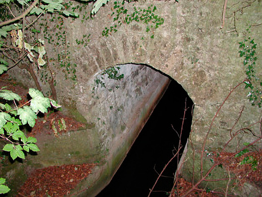 bridgebridge · 756 yd
 Moneen WoodWood · 1.4 mi
 Beggarbush WoodWood · 1.6 mi
 Dervotstown CastleCastle · 1.6 mi
 CastleCastle, unclassified · 1.6 mi
 Drewstown LittleMountain / peak · 1.7 mi
 Enclosure in Heathstown (delvin By.)Enclosure · 2.1 mi
 CloncatMountain / peak · 2.9 mi
 BoglandMemorial · 3.3 mi
 Causey FarmHeritage attraction · 3.3 mi