What is recorded here
On an E-W ridge, in wooded area. A roughly oval shaped concentration of stones and large boulders which form an irregularly shaped mound (c. 100m NW-SE by 40m E-W). These features probably formed part of the landscape design associated with Borris house. Area heavily overgrown at time of inspection by ASI (February 2007).
Compiled by: Claire Breen
Date of upload: 26 January 2012
The monument record does not grant public access. Check the route and ask the landowner before entering private land.
- What survives
- Recorded monument
Places near here
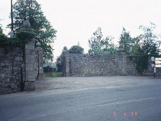 Borris Housedemesne walls/gates/railings · 474 yd
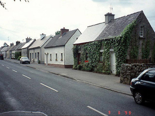 worker's houseworker's house · 771 yd
 IndicatedEnclosure · 1264 yd
 Pedunculate OakPedunculate Oak · 1354 yd
 Hybrid Black PoplarHybrid Black Poplar · 1483 yd
 Cross in ClonygooseCross · 1.1 mi
 Drumroe Castle (ruins)Castle · 1.8 mi
 CastleCastle, motte · 3.0 mi
 The Barrow WayVisitor information · 3.3 mi
 Kilcullaun Church (in ruins), GraveyardChurch · 3.5 mi
 The PoundMemorial · 4.3 mi
 Keating's WellSpring · 4.4 mi