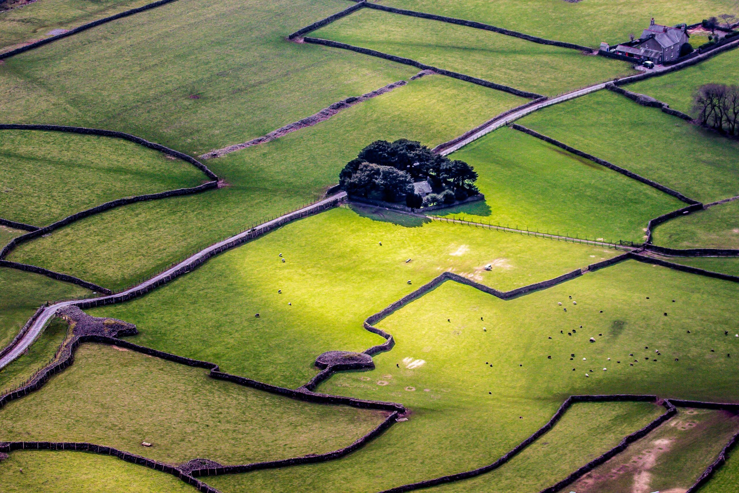
What is recorded here
This site was excavated by Audrey Gahan (97E0292) as part of the N20/N21 Adare–Annacotty road scheme. in 1997. The feature consisted of a series of low banks which turned out to be part of a post-medieval garden feature. (http://www.excavations.ie/Pages/Details.php?Year=&County=Limerick&id=3839)
Compiled by: Denis Power
Date of upload: 26 February 2013
The monument record does not grant public access. Check the route and ask the landowner before entering private land.
- What survives
- Recorded monument
Places near here
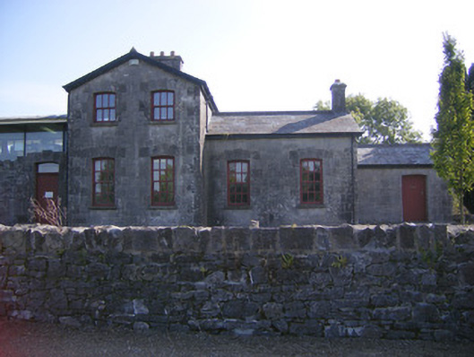 Patrickswell Railway Stationrailway station, signal box · 196 yd
 bridgebridge · 247 yd
 ExcavationExcavation, miscellaneous · 660 yd
 Megalithic structure in AttyflinMegalithic structure · 679 yd
 Ballinveala Castle (in ruins)Castle, tower house · 2.0 mi
 Castle FieldCastle, unclassified · 2.2 mi
 Dysert AenghusaHeritage attraction · 4.8 mi
 Monasteranenagh AbbeyHeritage attraction · 5.4 mi
 Kinnoor WellSpring · 6.1 mi
 Flat cemetery in Kiltenan SouthFlat cemetery · 6.5 mi
 Grass IslandIslet · 7.0 mi
 Maiden RockNamed rock · 7.2 mi
Other information
Photo: Credit not shown in the picture search · Rights wording not checked; contact us if this picture should be removed