What is recorded here
The National Heritage List for England records Deserted medieval village 630m north-west of Clannacombe Plantation as a scheduled monument. The saved point comes from the centre supplied by the official record. Listing does not by itself mean that the public may enter the place.
The historic-place record does not grant public access. Check current conditions and ownership before entering land or a building.
Places near here
 Standing stone above Badgworthy WaterAncient stone or rock art · 438 yd
 Hoccombe Combe prehistoric stone rowAncient stone or rock art · 672 yd
 Badgworthy HillMountain / peak · 807 yd
 Waterfall and barrier on Hoccombe WaterWaterfall · 910 yd
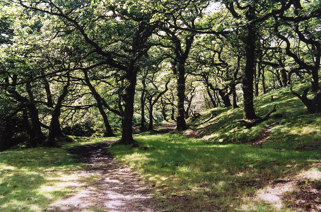 Brendon: Badgworthy WoodForest or wood · 1195 yd
 Waterfall on Lanacombe StreamWaterfall · 1219 yd
 Stowey AllotmentMountain / peak · 1670 yd
 Copper WoodWood · 1.6 mi
 Church of St MaryListed building · 1.9 mi
 Cattle in pasture opposite Oare Church Oare Exmoor SomersetChurch, cross or graveyard · 1.9 mi
 Cave, below Desolation PointCave or cavern · 3.5 mi
 Iron Age defended settlement called Roborough CastleScheduled monument · 4.0 mi