
What is recorded here
Waterfall and barrier on Hoccombe Water is shown and named in a reusable Geograph picture. The saved point is the picture's recorded map point.
A small, picturesque waterfall on Hoccombe Water, a tributary of the River Tone in Somerset, features a natural drop of around 1–2 metres, enhanced by a low stone barrier. Set within a rural, gently rolling landscape, it offers a tranquil and photogenic spot for visitors.
The picture record does not grant public access. Use signed public paths and do not enter private land without permission.
Places near here
 Badgworthy HillMountain / peak · 588 yd
 Waterfall on Lanacombe StreamWaterfall · 624 yd
 Trout Hill 3Archaeological place · 798 yd
 Trout Hill 4 prehistoric stone rowAncient stone or rock art · 840 yd
 Stowey AllotmentMountain / peak · 1.0 mi
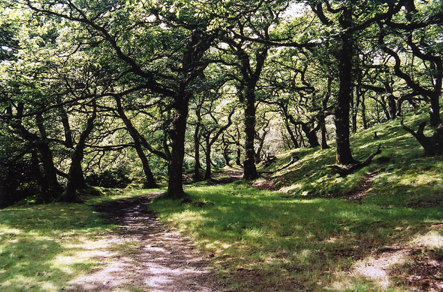 Brendon: Badgworthy WoodForest or wood · 1.2 mi
 Copper WoodWood · 2.0 mi
 Robber's BridgeHeritage place · 2.3 mi
 Church of St MaryListed building · 2.3 mi
 Exe HeadSpring · 3.0 mi
 Cow Castle ExmoorCastle, fort or tower · 3.8 mi
 Cow CastleScheduled monument · 3.9 mi
Other information
Photo: Roger Cornfoot · CC BY-SA 2.0