
What is recorded here
Derrykeighan Church stacks post-medieval ruins above a medieval parish and older pre-Norman sacred ground in County Antrim. A La Tene decorated stone still lies within the site, marking the place as a long-lived anchor for human ceremony. The church may have stood where people first gathered to pray, remember or face the unknown.
The official Northern Ireland record identifies this as DERRYKEIGHAN CHURCH - Post Medieval ruins on site of Medieval Parish church & pre-Norman site. Also La Tene decorated stone. Recorded period: POST-MED; E.C./MED; MED/L.MED; UNCERTAIN; L.B.A.. Recorded protection: Scheduled. The official map point was placed at the centre of the recorded archaeological site from the source map reference.
Derrykeighan Church was originally built as a medieval parish church, with evidence suggesting a pre-Norman foundation; the current post-medieval ruins date to the early modern period. The site includes a La Tène decorated stone, indicating possible early Christian or pre-Christian significance.
The monument record does not grant public access. Check the route and ask the landowner before entering private land.
- What survives
- Recorded monument
Places near here
 ENCLOSURE in LisconnanENCLOSURE · 1.2 mi
 ENCLOSURE; Man-made underground passage (O.S. memoir site; unlocated) in CarncoggyENCLOSURE; Man-made underground passage (O.S. memoir site; unlocated) · 1.5 mi
 North Irish Horse InnPublic House · 1.6 mi
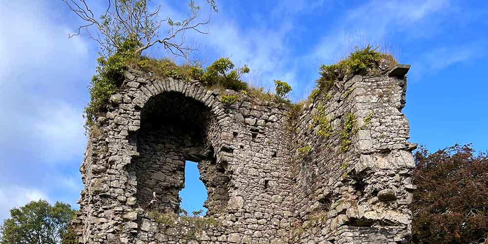 CASTLE (REMAINS OF): BALLYLOUGH CASTLE in Ballylough MoreCASTLE (REMAINS OF): BALLYLOUGH CASTLE · 2.5 mi
 CASTLE (destroyed): FLOWER HILL HOUSE in Flower HillCASTLE (destroyed): FLOWER HILL HOUSE · 3.3 mi
 Ballywatt Presbyterian ChurchChurch · 3.7 mi
 The Dark HedgesViewpoint · 4.3 mi
 Old Bushmills DistilleryHeritage attraction · 4.3 mi
 Ballymoney MuseumMuseum · 5.0 mi
 Kilmoyle WoodForest · 5.4 mi
 Runkerry BeachVisitor information · 5.6 mi
 Runkerry Stand (Bushfoot)Beach / strand · 5.9 mi
Other information
Photo: Kenneth Allen · CC BY-SA 2.0