What is recorded here
No amount of rain or time will erase the children buried at Derreendooagh. They are still there, waiting to be seen.
Midway down a W-facing slope in pasture, overlooking marshy land and a stream c. 100m to the W. Recorded as a dashed subcircular area (diams. c. 22m NE-SW; c. 18m NW-SE) partially defined by a later field boundary SE-S-SSW and named ‘Derreendooagh Grave Yard’ on the first edition (1842) of the OS 6-inch map. However, on the later OS 25-inch plan (1897) and Cassini edition (1920) of the OS 6-inch map it is named ‘Derreendooagh Burial Ground for Children’ and indicated as a subrectangular area (L c. 22m NNW-SSE; Wth c. 18m ENE-WSW), partially defined by a later field boundary along the S. Listed as ‘Burial ground’ in the RMP (1996).
This D-shaped children’s burial ground (21.5m NNW-SSE; 18.2m ENE-WSW) is defined on the E by an earth and stone bank (Wth 1.6m; int. H 0.5m; ext. H 01.5m) with internal collapse (Wth 4.5m combined with bank), and by a field wall (Wth 1.6m at base; int. H 0.8; ext. H 1.4m) on the straight S side. The enclosing element on the W was not traceable at the time of a visit in 1999, due to overgrowth. However, headstones within the burial ground could be seen to extend as far W as a modern fence which encloses the site. According to local information, this fence was built as part of a FÁS scheme c. 1991/1992. It also runs c. 2.5m outside the bank on the E. The burial ground is accessed by an iron gate between stone gate-posts on the N side and said to have been installed c. 1980. Small gravemarkers (av. H 0.2-0.4m; max. H 0.6m) are found throughout the W-sloping interior, with no discernible pattern or predominant orientation except for a N-S running line (L c. 9m) of contiguous stones (erect, fallen and of varying orientations) in the centre of the burial ground. Three inscribed graveslabs were noted: one (commemorating Tommy Broderick, dated 1919) under an oak tree in the S centre; a second (commemorating Martin Murray, dated 1982) in a small suboval enclosure (int. dims. 6.50m NW-SE; 4.7m SW-NE) just inside the gate, defined at SE-NNW by a bank (Wth 1.1-1.2m) with a narrow gap at the SE; and a third (inscribed ‘Keane’, no date) leaning against the inner face of the burial ground’s S wall.
Compiled by: Gearóid Conroy and Conn Herriott
Date of upload: 2-10-2025
The monument record does not grant public access. Check the route and ask the landowner before entering private land.
- What survives
- Recorded monument
Places near here
 Derreendoagh Children's Burial GroundArchaeological place · 4 yd
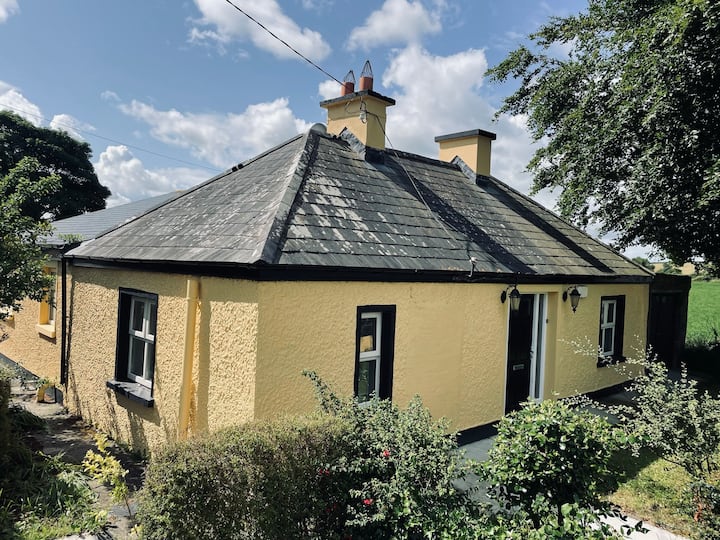 IndicatedFairy fort / earthen ringfort · 1443 yd
 Bleach Bridgebridge · 1.3 mi
 Hawkins WoodWood · 2.4 mi
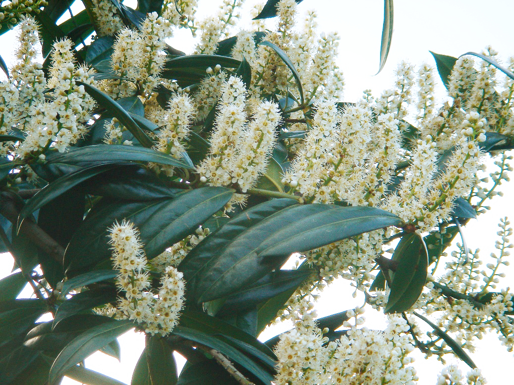 Cherry laurelCherry laurel · 3.2 mi
 Church (in Ruins)Church · 3.3 mi
 MagheraMountain / peak · 3.8 mi
 KnocknarebanaMountain / peak · 3.9 mi
 Holly IslandIslet · 4.5 mi
 Castle (in ruins)Castle, tower house · 4.7 mi
 Castle IslandIsland · 5.0 mi
 Castle in ruinsCastle, tower house · 5.0 mi