What is recorded here
Dermot and Grania's Bed Tomb Site in County Donegal was a ruined megalithic chamber whose great oblong flag still leaned above two supporting pillars when Thomas Fagan measured it in the 1840s. The place faced the Lurgy River valley and carried a love name rather than a warning, as if death itself had been made into a bedroom for two. Its stones were later taken for fences or forgotten, leaving only a horizontal boulder and two stray markers in a field. What remained was not a monument but a suggestion: that even dismantled, the bed might have kept its shape in memory.
This feature, first shown on the 1848 edition of the OS 6-inch map, has been demolished. It stood on level ground overlooked to the N by the hill country S of Lough Salt Mountain. South-eastward from the site there is a view between low hills along the valley of the Lurgy River toward Kilmacrenan village.
Thomas Fagan (1845-8) described it as the 'ruins of an ancient sepulture' locally called 'Dermot and Grania's Bed' consisting of a great oblong flag measuring 71/2 feet (c. 2.3m) long, 51/2 feet (c. 1.7m) broad and 1 foot (c. 0.3m) thick, which lay with its E side nearly resting on the ground and its W side 'elevated 21/2 feet [c. 0.75m] by a pillar beneath each end'. Immediately to the W a few upright stones, 21/2 feet (c. 0.75m) high, stood close together. He claimed that many other stones, as well as some enclosed graves, had been removed from the site at an earlier period.
The remains here appear to have been further interfered with by the beginning of the 20th century, as they were then described as 'a large boulder laid horizontally over some loose stones' (OS 1:2,500 Name Book, 1903). Two stones, each c. 1m in maximum dimension, set in a field fence a short distance S of where this feature stood are claimed locally to have formed part of it. The structure described by Fagan may have been a ruined megalithic tomb, but evidence that was more compelling would be required to establish with any degree of certainty that this was so.
Fagan 1845-8, book 5, 5; Kinahan 1887-8, 432; Kinahan 1889, 280; Borlase 1897, 232, Kilmacrenan no. 14; OS 1:2,500 Name Book, sheet 35 (1903), 7; Ó Nualláin 1983a, 45, no. 127; SMR 1987, 35:13; Ó Nualláin 1989, 142; RMP 1995, 35:13.
The above description was published in the 'Survey of the Megalithic Tombs of Ireland. Volume VI, County Donegal.' Compiled by: Eamon Cody (Dublin: Stationery Office, 2002).
Date of upload: 22 September 2008
The monument record does not grant public access. Check the route and ask the landowner before entering private land.
- What survives
- Recorded monument
Places near here
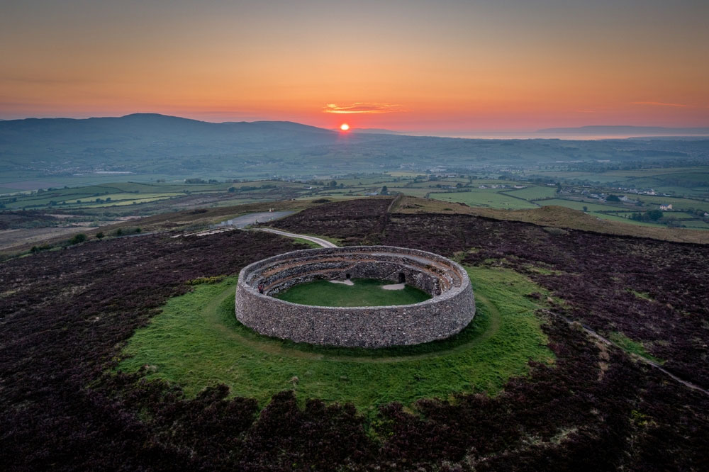 An Ghabhail Stone Ringfort and Man-made underground passageFairy fort / stone ringfort · 52 yd
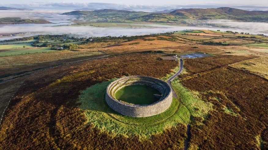 An Ghabhail Earthen RingfortFairy fort / earthen ringfort · 422 yd
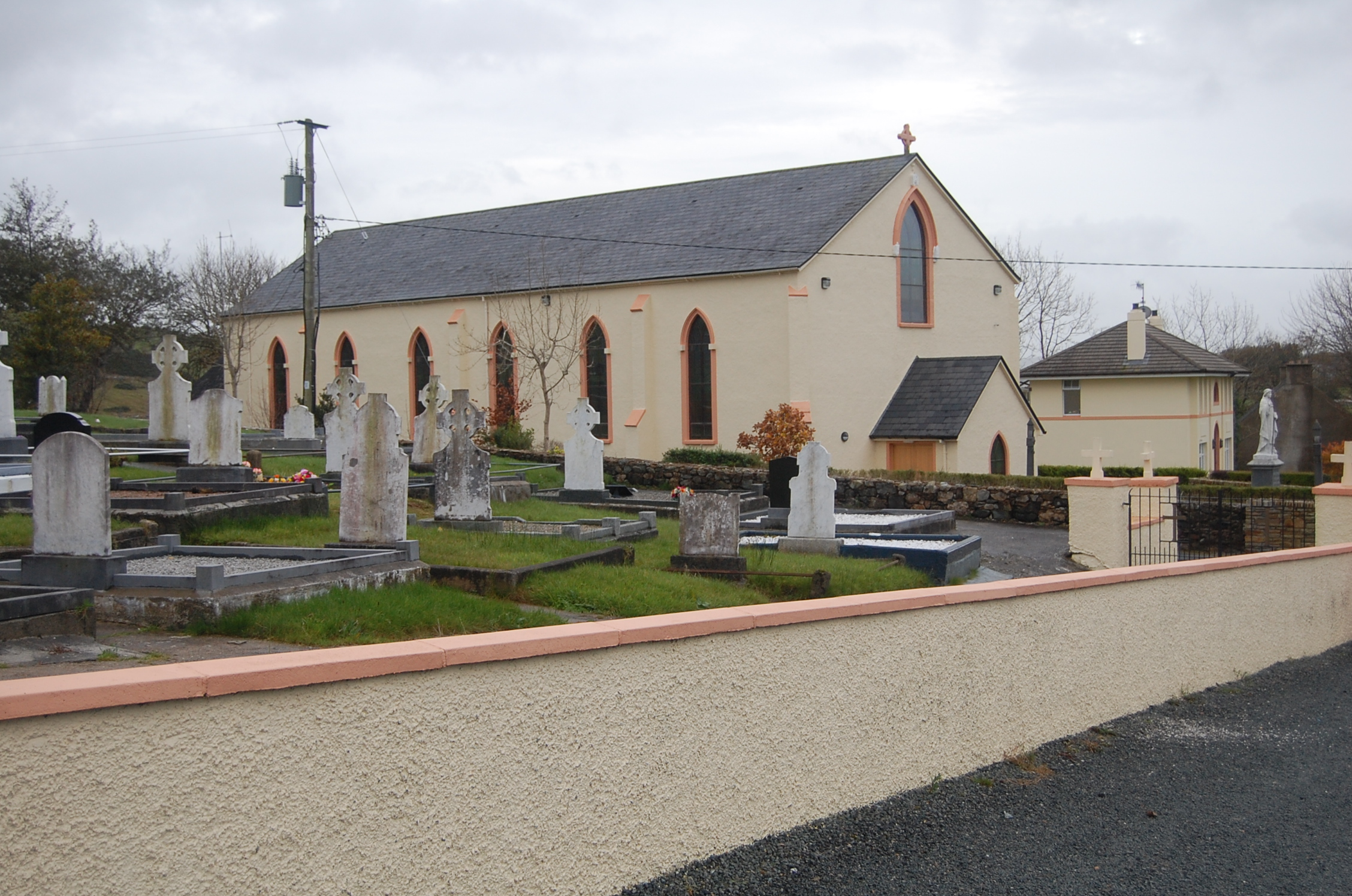 Saint Columba's Catholic Churchchurch/chapel · 1366 yd
 Loughsalt MountainMountain / peak · 2.0 mi
 Church of St. Finian and St. Markchurch/chapel · 2.3 mi
 Castle (Site of)Castle, unclassified · 2.4 mi
 Silver BirchSilver Birch · 2.4 mi
 Master Sword in StoneHeritage attraction · 3.0 mi
 BallykeeranForest recreation place · 3.1 mi
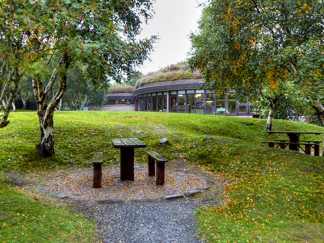 Glenveagh National Park Visitor CentreVisitor information · 4.8 mi
 Glebe House and GalleryHeritage attraction · 5.2 mi
 Stackarnagh Abbey GraveyardGraveyard · 6.6 mi