
What is recorded here
Delliga Burial Ground stands on the west side of the Freemount/Milford road in County Cork, Ireland. A rectangular patch of earth, forty-five metres long and twenty-five wide, it slopes gently southeast beneath a tree-planted bank. Seventeen inscribed headstones rise from the soil, the oldest marking the Barry family in 1758, while many low uninscribed markers dot the ground beside them. The place stopped receiving burials long ago, yet the stones still hold the names and shapes of the people who laid them there.
Named 'Delliga Church Yard' on 1842 OS 6-inch map; 'Delliga Burial Ground' on 1905 OS 6-inch map. On W side of Freemount/Milford road. Rectangular area (45m NW-SE; 25m NE-SW) enclosed by earthen bank planted with trees; SE bank stone-faced externally, broken by entrance gate. Interior slopes gently down to SE; c. 17 inscribed headstones noted; earliest, to Barry family, dated 1758; many low uninscribed grave markers. Not in use.
The above description is derived from the published 'Archaeological Inventory of County Cork. Volume 4: North Cork' (Dublin: Stationery Office, 2000). In certain instances the entries have been revised and updated in the light of recent research.
Date of upload/revision: 14 January 2009
The monument record does not grant public access. Check the route and ask the landowner before entering private land.
- What survives
- Recorded monument
Places near here
 Urn burial in BallaghareaUrn burial · 1288 yd
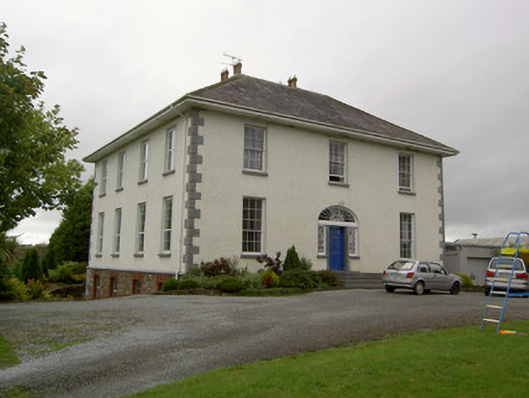 Prohust Housecountry house · 1540 yd
 KilnKiln, lime · 1.0 mi
 LisnakillaFairy fort / earthen ringfort · 1.1 mi
 Castle LisheenCastle · 1.5 mi
 Castle (in Ruins)Castle, Anglo-Norman masonry castle · 2.1 mi
 National Co-op MuseumMuseum · 3.1 mi
 ToberacappeenSpring · 3.9 mi
 Battle of LiscarrollMajor battlefield · 3.9 mi
 Windmill HillMountain / peak · 5.0 mi
 Mullaghareirk - Banane LoopWalking route · 8.3 mi
 European YewEuropean Yew · 9.3 mi
Other information
Photo: Credit not shown in the picture search · Rights wording not checked; contact us if this picture should be removed