
What is recorded here
Delanys Fort is a ruined earthen ring on a west-facing hill in County Meath, marked in gothic lettering on maps from 1836 and 1912. Its broad grassy interior, sixty to seventy metres across, still holds the shadow of a life long forgotten. The broken bank and hidden ditch suggest people once shaped the hill for shelter, ceremony or claim.
Situated on the W-facing slope of a broad hill. It is described as ‘Delany’s Fort’ in gothic lettering on the 1836 and 1912 editions of the OS 6-inch map. This is a circular grass-covered area (diam. 67.5m NNW-SSE; 61.5m ENE-WSW) defined by an earthen bank that is largely reduced to a scarp (H 1m at SSW to 2.5m at NNE) with some bushes that has an outer stone facing NW-E-SSE. There is an outer rounded fosse (at SE: Wth of top 9m; ext. D 0.4m) that is incorporated into the drain (Wth of top 13.3m; Wth of base 4m; ext. D 1m) of a field bank S-NW. The entrance (Wth of base 3.8m) is at ESE. The bank has become more overgrown since 1969 (OSAP).
The above description is derived from the published 'Archaeological Inventory of County Meath' (Dublin: Stationery Office, 1987). In certain instances the entries have been revised and updated in the light of recent research.
Compiled by: Michael Moore
Date of revision: 26 August 2019
Amended: 24 March 2023
The monument record does not grant public access. Check the route and ask the landowner before entering private land.
- What survives
- Recorded monument
Places near here
 St Nicholas WellHoly well · 1419 yd
 CastleCastle, motte · 1451 yd
 Church (Site of)Church · 1660 yd
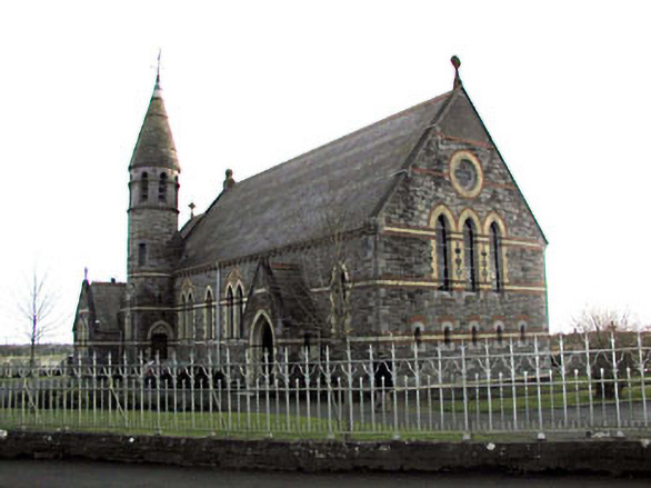 Catholic Church of Saint Martin of Tourschurch/chapel · 1.1 mi
 Church (Disused)Church · 1.5 mi
 MullaghMountain / peak · 1.6 mi
 1798 MemorialMemorial · 2.1 mi
 Larchil Arcadian GardensHeritage attraction · 2.9 mi
 Mulhussy CastleCastle, tower house · 3.1 mi
 Lismahon 1798 MemorialMonument · 3.5 mi
 Dunsany WoodWood · 3.6 mi
 Railway Woods (North)Forest · 3.8 mi
Other information
Photo: Credit not shown in the picture search · Rights wording not checked; contact us if this picture should be removed