What is recorded here
This feature, named 'Darby's Bed' on the original edition of the OS 6-inch map (1834), is shown but not named on the revised 6-inch map of 1848. It stands at the western edge of a stream and consists of two stones at right angles to each other. The larger one, an upright slab, lies ENE-WSW and is 1.07m long, 0.2m thick and 1m high. The smaller stone is just S of the eastern end of the larger. This is a low stone, 1m long, 0.5m thick and 0.3m high. The nature of this artificial feature is unclear.
Borlase 1897, 229, Inishowen East no. 7; Lacy 1983, 88, no. 501; Ó Nualláin 1983a, 49, no. 184 (the description here arose from a misidentification of the site); SMR 1987, 10:20; RMP 1995, 10:20.
The above description was published in the 'Survey of the Megalithic Tombs of Ireland. Volume VI, County Donegal.' Compiled by: Eamon Cody (Dublin: Stationery Office, 2002).
Date of upload: 22 September 2008
The monument record does not grant public access. Check the route and ask the landowner before entering private land.
- What survives
- Recorded monument
Places near here
 Enclosure in RashennyEnclosure · 891 yd
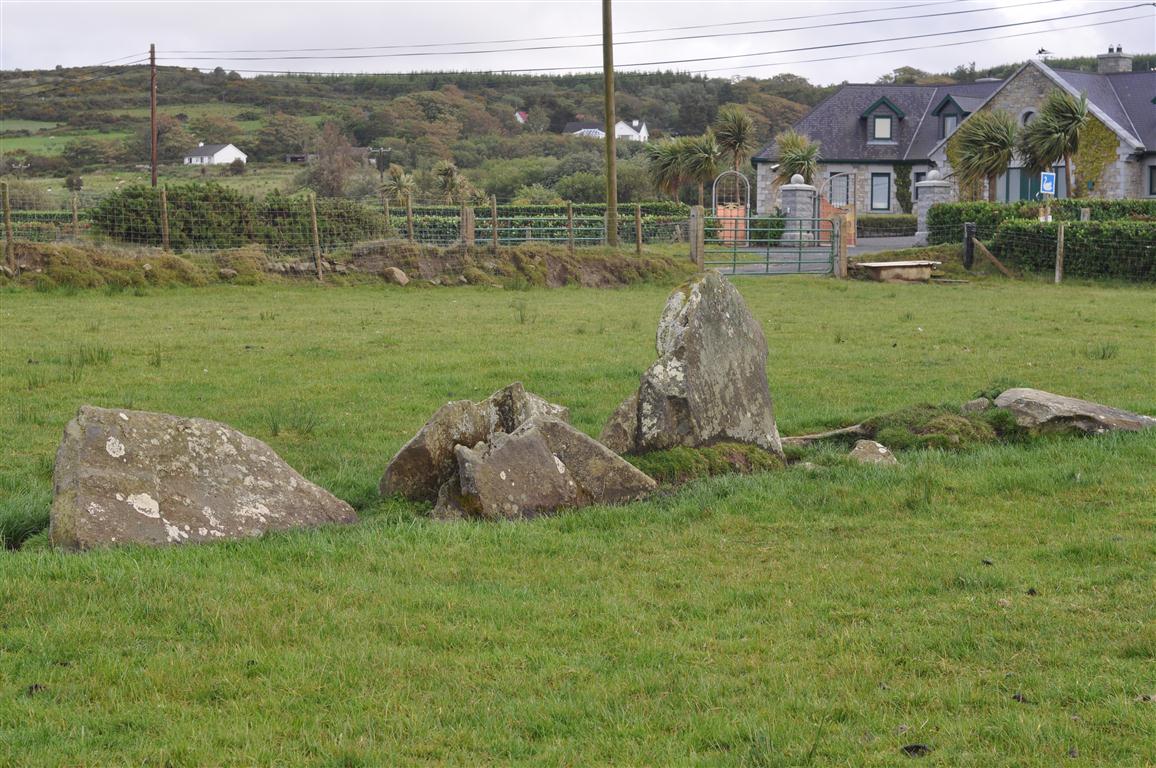 Rashenny Burial near the Standing StoneBurial · 1579 yd
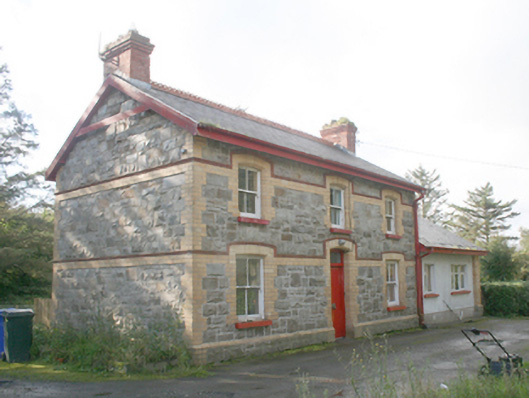 Ballyliffin Railway Stationrailway station · 1.8 mi
 Oratory of the Assumptionchurch/chapel · 1.9 mi
 Glendowen craft shopHeritage attraction · 2.8 mi
 Clonmany Early Church GraveyardGraveyard · 3.0 mi
 Dough Famine VillageHeritage attraction · 3.0 mi
 CastleCastle, unclassified · 3.2 mi
 Glenevin Waterfall WalkOfficial walking route · 3.3 mi
 Carndonagh Early Church GraveyardGraveyard · 3.4 mi
 Bawn in CarrickabraghyBawn · 3.5 mi
 Glenevin WaterfallWaterfall · 3.6 mi