What is recorded here
Cursus in Ballypatrick (Temple-Etney parish), Toor (Kilcash parish) is a cursus in Ballypatrick (Temple-Etney parish), Toor (Kilcash parish), County Tipperary, Ireland. The 2016 inventory recorded two roughly parallel stone banks running downslope for about 360 metres on the east slope of Slievenamon, narrowing from 90 metres apart to 75 metres at the western end. It described the north bank turning east-southeast after 118 metres, a curving western closure with a 2.7-metre southwest gap, and both banks apparently ending where the east ground steepened sharply.
On the E mountain slope of Slievenamon. A cairn (TS078-001----) is situated just E of the summit of the mountain and is 150m WNW of the cursus. Another cairn (TS071-021----) is visible 1km to N from the upper end of the cursus and an unclassified megalithic tomb (TS071-064----), though not visible, is located c. 930m to the N. The view NE-E-S is extensive, with the passage tomb at Knockroe (KK034-019001-) c. 10km to the E and the passage tomb at Baunfree (KK034-031----) c. 13km to the SE. Aligned roughly E-W, the monument, running downslope, consists of two roughly parallel stone banks (N bank Wth 1.9m at top; overall Wth 3.3m; H 0.3m; S bank Wth 1.3m at top; overall Wth 2.2-2.9m; H 0.25-0.35m) overgrowth with grass, moss and heather. The banks are 90m apart, though they narrow to 75m at the upper western end. The upper end terminates with a bank (Wth 2.7m at top; overall Wth 5.5m; int. H 1m; ext. H 0.22m) which curves at the NW angle, while at the SW angle there is a gap (Wth 2.7m). The N bank runs E-W from the W end for 118m before turning ESE for the remaining c. 260m while the S bank runs ESE-WNW for its entire length of c. 360m. The upper end of the monument is on a relatively gentle slope, however, the ground level becomes increasingly steeper and both banks appear to terminate at the E end where the ground level becomes very steep. Similar cursus monuments have been identified in Carlow (CW020-026----; CW020-027----); Kilkenny (KK005-004----); Kildare (KD032-058----) and Wicklow (WI005-124----; WI027-089----).
Compiled by: Jean Farrelly
Date of upload: 23 May 2016
The monument record does not grant public access. Check the route and ask the landowner before entering private land.
- What survives
- Recorded monument
Places near here
 SlievenamonMountain / peak · 401 yd
 SheegounaMountain / peak · 1068 yd
 Saint John's Catholic Churchchurch/chapel · 1.7 mi
 Font (present location) in Toor (kilcash Par.)Font (present location) · 1.7 mi
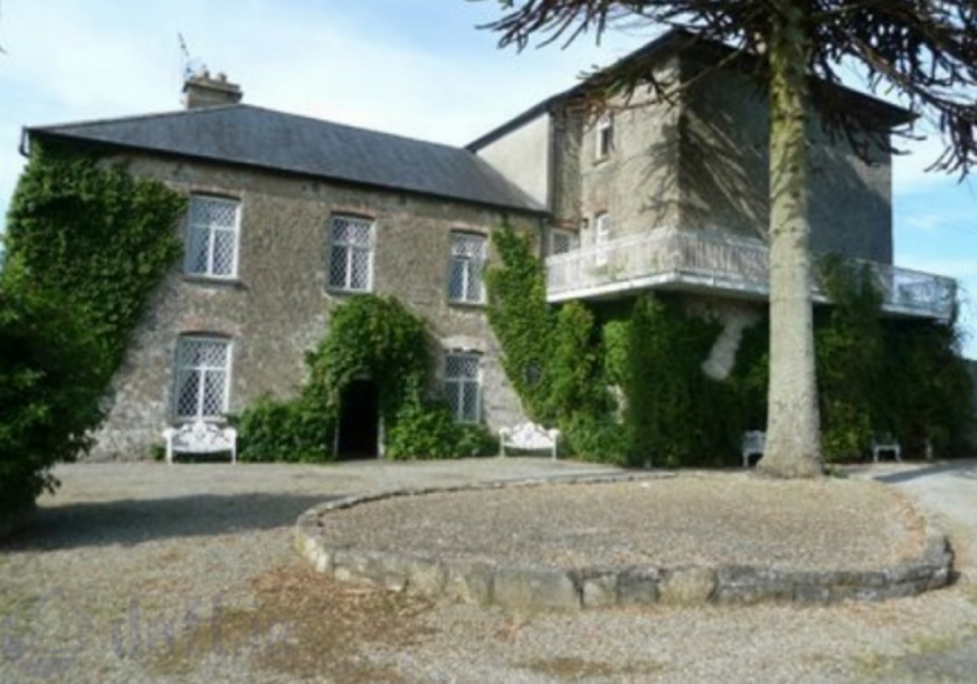 Enclosure in KnockrathkellyEnclosure · 1.8 mi
 Ballyknockane Lodgehunting/fishing lodge · 1.8 mi
 Carrigaloe RockNamed rock · 2.0 mi
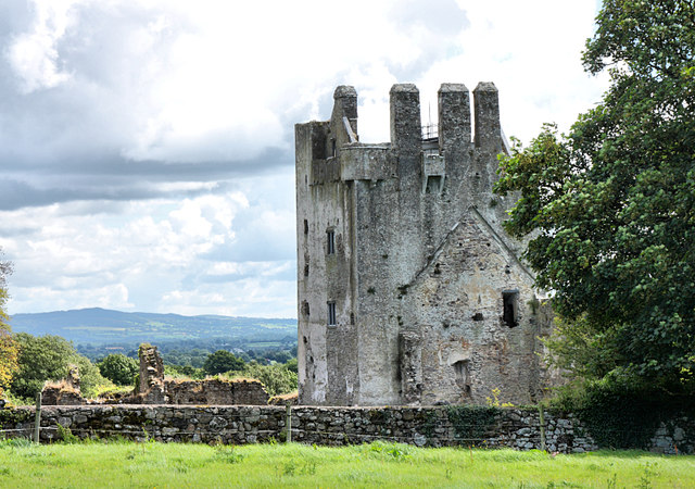 Bawn in KilcashBawn · 2.5 mi
 Kilcash Castle (in ruins)Castle, tower house · 2.5 mi
 Kilcash WoodForest · 2.6 mi
 European ashEuropean ash · 3.9 mi
 The SpoutMemorial · 4.4 mi