What is recorded here
No clear record exists for the named request.
One of a pair of standing stones (9868), removed from its position c. 1981. According to local information, cupmarks on one side. Stone subsequently dumped against field fence; no cupmarks evident on exposed surface of stone. Original location record CO029-206----.
The above description is derived from the published 'Archaeological Inventory of County Cork. Volume 4: North Cork' (Dublin: Stationery Office, 2000). In certain instances the entries have been revised and updated in the light of recent research.
Date of revision: 15 December 2009
The monument record does not grant public access. Check the route and ask the landowner before entering private land.
- What survives
- Recorded monument
Places near here
 BarrowBarrow, ring-barrow · 503 yd
 Fulacht FiadhFulacht fia · 1540 yd
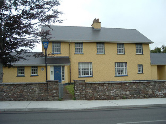 Knocknagree Garda Stationgarda station/constabulary barracks · 1.3 mi
 Knocknagree Roman Catholic Churchchurch/chapel · 1.4 mi
 Nohaval WoodWood · 2.8 mi
 Dromsicane Castle (in Ruins)Bawn · 5.9 mi
 Barna BogForest · 6.0 mi
 Doctor's HillMountain / peak · 6.4 mi
 Caherbarnagh NW TopMountain / peak · 6.8 mi
 Wildlife of the UplandsVisitor information · 7.2 mi
 Birds of DuhallowVisitor information · 7.3 mi
 Kilmeedy CastleCastle, tower house · 8.0 mi