What is recorded here
In rough hill pasture covered with ferns, gorse and heather, overlooking Roaringwater Bay to the W. A cupmark (diam. 0.07m; D 0.025m) is visible near the centre of the NW-sloping upper surface of a moss-covered boulder (L 1.2m; Wth 0.6m; H 0.6m). A nearby oval depression (L 0.09m; Wth 0.07m; D 0.01-0.02m) appears to be a natural feature. Another cupmarked stone (CO150-074----) is c. 15m to the S.
The above description is derived from 'The Archaeological Inventory of County Cork. Volume 5' (Dublin: Stationery Office, 2009).
Date of upload: 22 December 2009
The monument record does not grant public access. Check the route and ask the landowner before entering private land.
- What survives
- Recorded monument
Places near here
 Church in Kedge IslandChurch · 651 yd
 Walk 5 - Lough Hyne (7km)Walking route · 819 yd
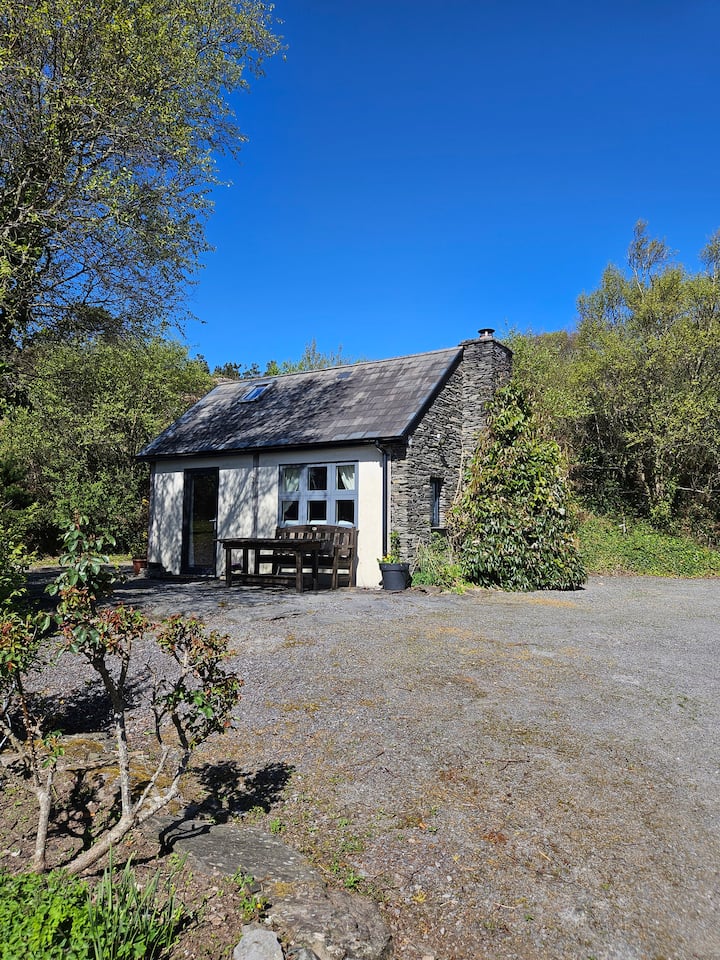 Hut site in GlannafeenHut site · 1009 yd
 Templebreedy (in Ruins)Church · 1313 yd
 Bullock IslandIslet · 1512 yd
 ClochánCastle · 1559 yd
 Castle (in Ruins)Castle, unclassified · 1570 yd
 Kill Burial Ground (Childrens)Burial ground · 1718 yd
 Wild Atlantic Way:Lough HyneVisitor information · 1.1 mi
 Trá na BóBeach / strand · 1.2 mi
 KnockomaghMountain / peak · 1.2 mi
 TralispeanBeach / strand · 1.4 mi