What is recorded here
This possible cupmarked stone was noted in this location in 1995 but by April 2000 it had been removed. It was located in a pasture field and was described as a rounded boulder (L 0.9m) which displayed a single cupmark and two groupings of cupmarks on its upper surface. There are now no visible remains of the possible cupmarked stone in this location.
The above description is derived from 'The Archaeological Inventory of County Cork. Volume 5' (Dublin: Stationery Office, 2009).
Date of upload: 22 December 2009
Likely dating to the Neolithic or Bronze Age, this cupmarked stone may have had ritual or symbolic significance, as cupmarks are often associated with ceremonial practices in prehistoric Europe. Its removal complicates further study of its potential use or meaning in the local landscape.
The monument record does not grant public access. Check the route and ask the landowner before entering private land.
- What survives
- Recorded monument
Places near here
 Church in Kedge IslandChurch · 424 yd
 Walk 5 - Lough Hyne (7km)Walking route · 556 yd
 quay/wharfquay/wharf · 817 yd
 Castle (in Ruins)Castle, unclassified · 1071 yd
 KnockomaghMountain / peak · 1108 yd
 Wild Atlantic Way:Lough HyneVisitor information · 1195 yd
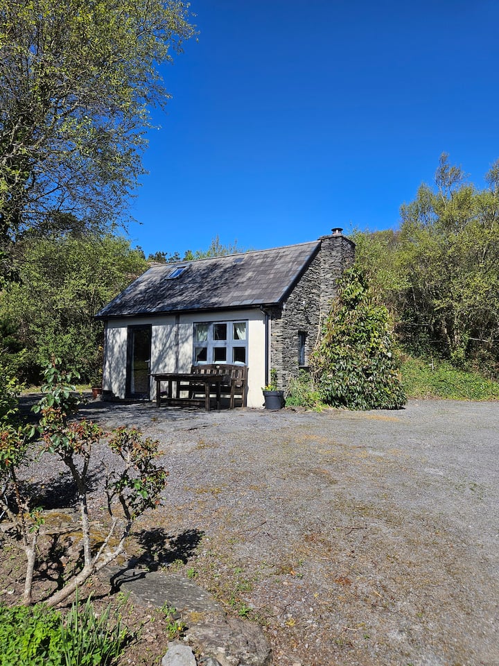 Hut site in GlannafeenHut site · 1208 yd
 Kill Burial Ground (Childrens)Burial ground · 1223 yd
 ClochánCastle · 1266 yd
 Bullock IslandIslet · 1.1 mi
 Trá na BóBeach / strand · 1.3 mi
 TralispeanBeach / strand · 1.6 mi