What is recorded here
Ten small cups are cut across a smooth shale slab leaning inside the cashel wall at Farrandau. The stones sit beside a house ruin and face an open seam of sea, suggesting people valued the view as much as the marks. Another holed stone broke away in this same place, reminding us that hands and weather keep rewriting what survives.
In interior of cashel (CO142-070001-) leaning against inner face of wall to E. Stone fragment (H 1.05m; 0.5m x 0.1m) with at least ten cupmarks. Described by Somerville (1931, 9) as 'holed-stone of which the hole had been about 4" in diameter but the hole is now broken across'. Finlay (1973, 112-13) notes stone may be 'more broken now than when examined by Somerville,as the hole feature is not obvious. Example of rock art (CO142-070004-) at entrance to cashel.
The above description is derived from the published 'Archaeological Inventory of County Cork. Volume 1: West Cork' (Dublin: Stationery Office, 1992). In certain instances the entries have been revised and updated in the light of recent research.
Date of upload/revision: 14 January 2009
Within interior of Knockdrum stone fort (CO142-070001-) (130m OD), adjacent to E of rectangular house site. This vantage point has extensive views of Castle Haven inlet to E, the Atlantic seaboard SE->S->SW, Skiddy Island to SE and Horse Island to S. A smooth and unfractured shale stone (dims. 1.04m NE-SW; 0.44m NW-SE; T 0.11m) having a rectangular decorated surface (dims. 0.92m NE-SW; 0.33m NW-SE). This stone bears ten cupmark (dims.2.5-6cm; D 3-10mm) across its flat upper surface. According to Somerville (1931, 9) another stone in this vicinity, described as a 'holed-stone’, was destroyed sometime after 1913. The hole had been about 4" in diameter, however sometime between 1913 and 1930, the stone had broken across the hole, leaving only half the stone with a semi-circular perforation. An example of rock art (CO142-070004-) is located outside entrance to the stone fort.
Compiled by: Alison McQueen and Vera Rahilly
Date of upload: 7 July 2017
Likely dating to the Neolithic or Bronze Age, the cupmarked stone may have had ritual or symbolic significance, possibly linked to water or fertility. Its placement within a cashel suggests later reuse, though original prehistoric meaning remains unclear.
This remains an important historical record, but the official description says the monument is no longer visible or has been destroyed. The monument record does not grant public access. Check the route and ask the landowner before entering private land.
- What survives
- No visible remains or recorded as destroyed
Places near here
 Cnoc DromaArchaeological place · 8 yd
 IndicatedFairy fort / stone ringfort · 9 yd
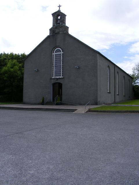 St. Barrahane's Roman Catholic Churchchurch/chapel · 486 yd
 Castletownsend National Schoolschool · 522 yd
 Carraig ThrounceMountain / peak · 832 yd
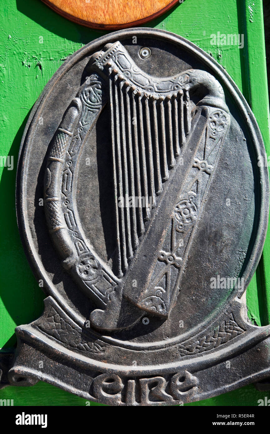 The Irish RM PlaqueMemorial · 1047 yd
 Castlehaven StrandBeach / strand · 1097 yd
 Gleann BearcháinWood · 1135 yd
 Castlehaven CastleCastle · 1152 yd
 Placenames & Their Amazing StoriesHeritage attraction · 1312 yd
 CuaisínBeach / strand · 1345 yd
 SycamoreSycamore · 1402 yd