What is recorded here
That is exactly what Drishane holds: a rectangle movable boulder, 115cm x 88cm and 30cm thick, set on a steep slope above Castlehaven Harbour. It bears eighteen cup-marks, including three conjoined and a conjoined pair, like marks made in a hurry or by more than one hand. Anyone who stood there saw water, sky and stone at once, and the cups may have answered that view rather than served a hidden ritual.
On top of a steep slope, overlooking Castlehaven Harbour to S. Finlay (1973, 110-111) describes a 'rectangle movable boulder, 115cm x 88cm and 30cm thick' decorated with eighteen cup-marks including a group of three which are conjoined and a pair, also conjoined'.
The above description is derived from the published 'Archaeological Inventory of County Cork. Volume 1: West Cork' (Dublin: Stationery Office, 1992). In certain instances the entries have been revised and updated in the light of recent research.
Date of upload/revision: 14 January 2009
Likely dating to the Neolithic or Bronze Age, the cupmarked stone in Drishane may have had ritual or ceremonial significance, possibly linked to water or fertility symbolism. Such stones are often associated with wider ritual landscapes in west Cork.
The monument record does not grant public access. Check the route and ask the landowner before entering private land.
- What survives
- Recorded monument
Places near here
 Drishane Housecountry house · 60 yd
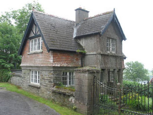 Glen Barrahanegate lodge · 123 yd
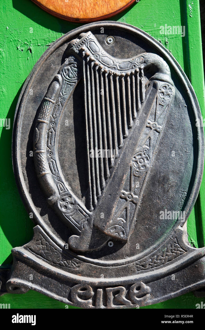 The Irish RM PlaqueMemorial · 139 yd
 Battle of CastlehavenMemorial · 155 yd
 CuaisínBeach / strand · 374 yd
 SycamoreSycamore · 522 yd
 Bayard Warren PlaqueMemorial · 650 yd
 Keil Burial Gd (Disused)Burial ground · 686 yd
 Castle TownshendCastle · 768 yd
 Faill FraoighCliff · 842 yd
 Cuaisín Leaca TobarBeach / strand · 880 yd
 Cat IslandIslet · 954 yd