What is recorded here
In rough pasture, on a terrace with occasional outcropping rock, on a N-facing slope. Four cupmarks (diam. 0.04-0.05m; D 0.02-0.03m) are visible on the upper surface of an irregularly shaped prostrate slab (1.55m E-W; 0.8m N-S; T 0.3m). An anomalous stone group (CO142-102001-) is c. 35m to the NE.
The above description is derived from 'The Archaeological Inventory of County Cork. Volume 5' (Dublin: Stationery Office, 2009).
Date of upload: 22 December 2009
Likely dating to the Neolithic or Bronze Age, the cupmarked stone in Carrigillihy may have had ritual or symbolic significance, possibly linked to water or fertility, as suggested by the presence of cup and ring marks in similar contexts across Atlantic Europe.
The monument record does not grant public access. Check the route and ask the landowner before entering private land.
- What survives
- Recorded monument
Places near here
 Children's burial ground in CarrigillihyChildren's burial ground · 97 yd
 Cill na LeanbhArchaeological place · 103 yd
 Faill na BristeCliff · 328 yd
 Seomraí Faoi ThalamhCave · 347 yd
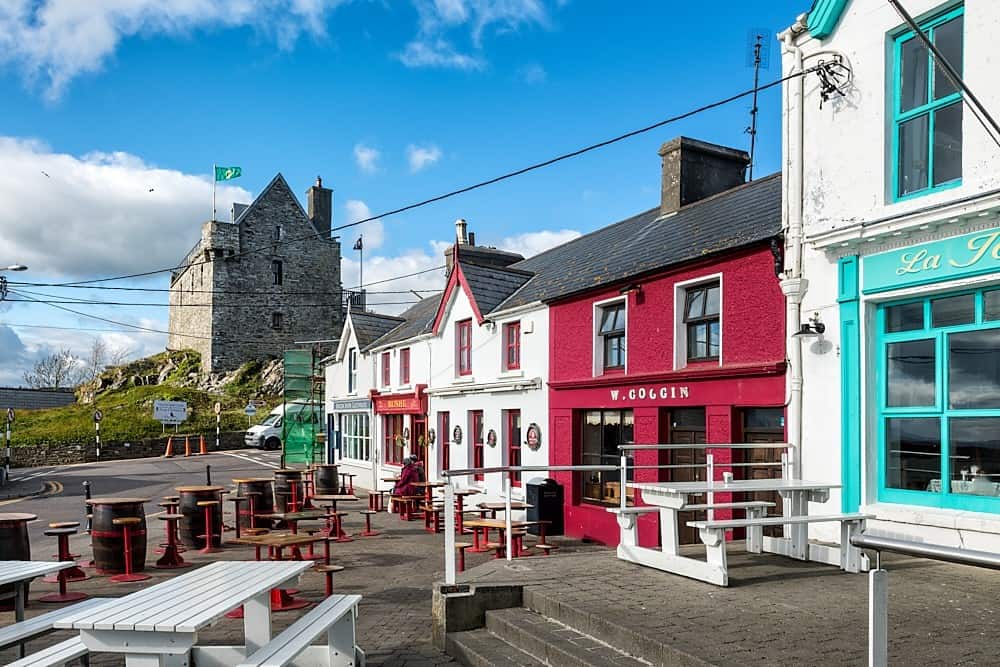 Cúisín DarraíBeach / strand · 413 yd
 Tráigín a' LéighileáinBeach / strand · 459 yd
 Carraig-ín MhóireNamed rock · 510 yd
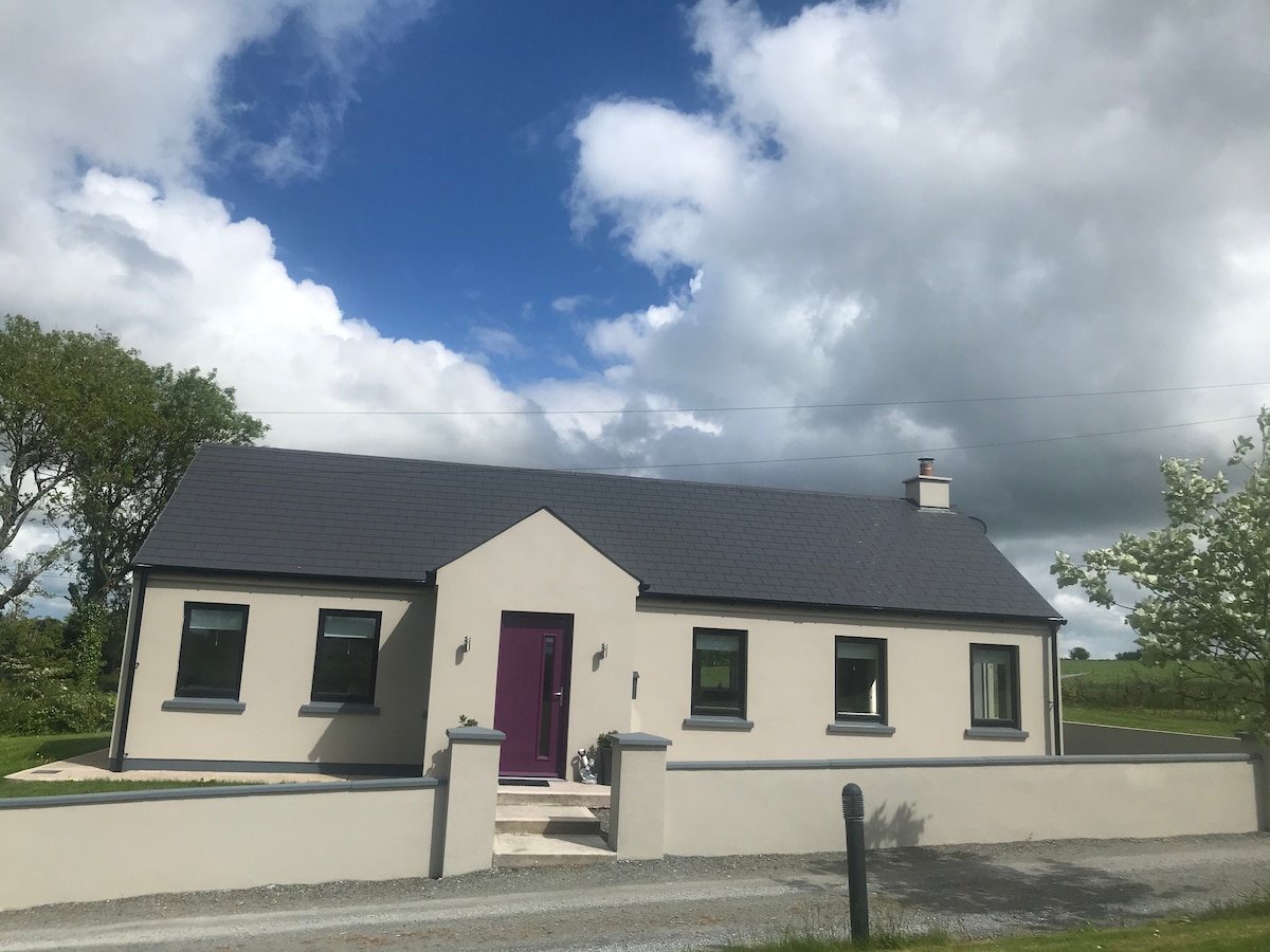 Péicin Thalamh na GainmheMountain / peak · 1021 yd
 Seaview Housefarm house · 1059 yd
 An Gróibin ThuaidhWood · 1355 yd
 The Old Schoolhouseschool · 1.1 mi
 Eve IslandIslet · 1.2 mi