What is recorded here
In pasture, overlooking Roury river to E. Roberts (1985) describes a 'large stone slab with many deeply inscribed cup-marks'. Stone broken up and buried c. 1985.
The above description is derived from the published 'Archaeological Inventory of County Cork. Volume 1: West Cork' (Dublin: Stationery Office, 1992). In certain instances the entries have been revised and updated in the light of recent research.
Date of upload/revision: 14 January 2009
The monument record does not grant public access. Check the route and ask the landowner before entering private land.
- What survives
- Recorded monument
Places near here
 Coppingers Courtcastle/fortified house · 627 yd
 Roury Bridgebridge · 791 yd
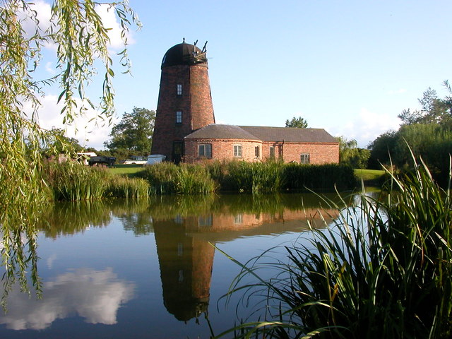 Roury Mill (Corn)Milling complex · 825 yd
 Stone CircleStone circle, multiple-stone · 1182 yd
 Drombeg Stone CircleArchaeological place · 1182 yd
 Drombeg Fulacht Fia and RuinsVisitor information · 1245 yd
 Trá an tAonaighBeach / strand · 1412 yd
 Walk 1 - Drombeg Standing Stone Circle (7 - 9 km)Walking route · 1.1 mi
 Lookout over MillcoveViewpoint · 1.2 mi
 Prison CoveBeach / strand · 1.7 mi
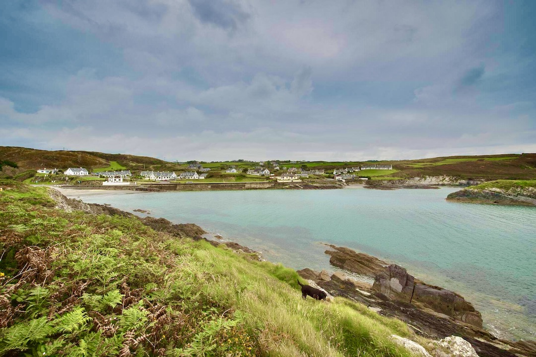 Faill na SeabhachCliff · 1.7 mi
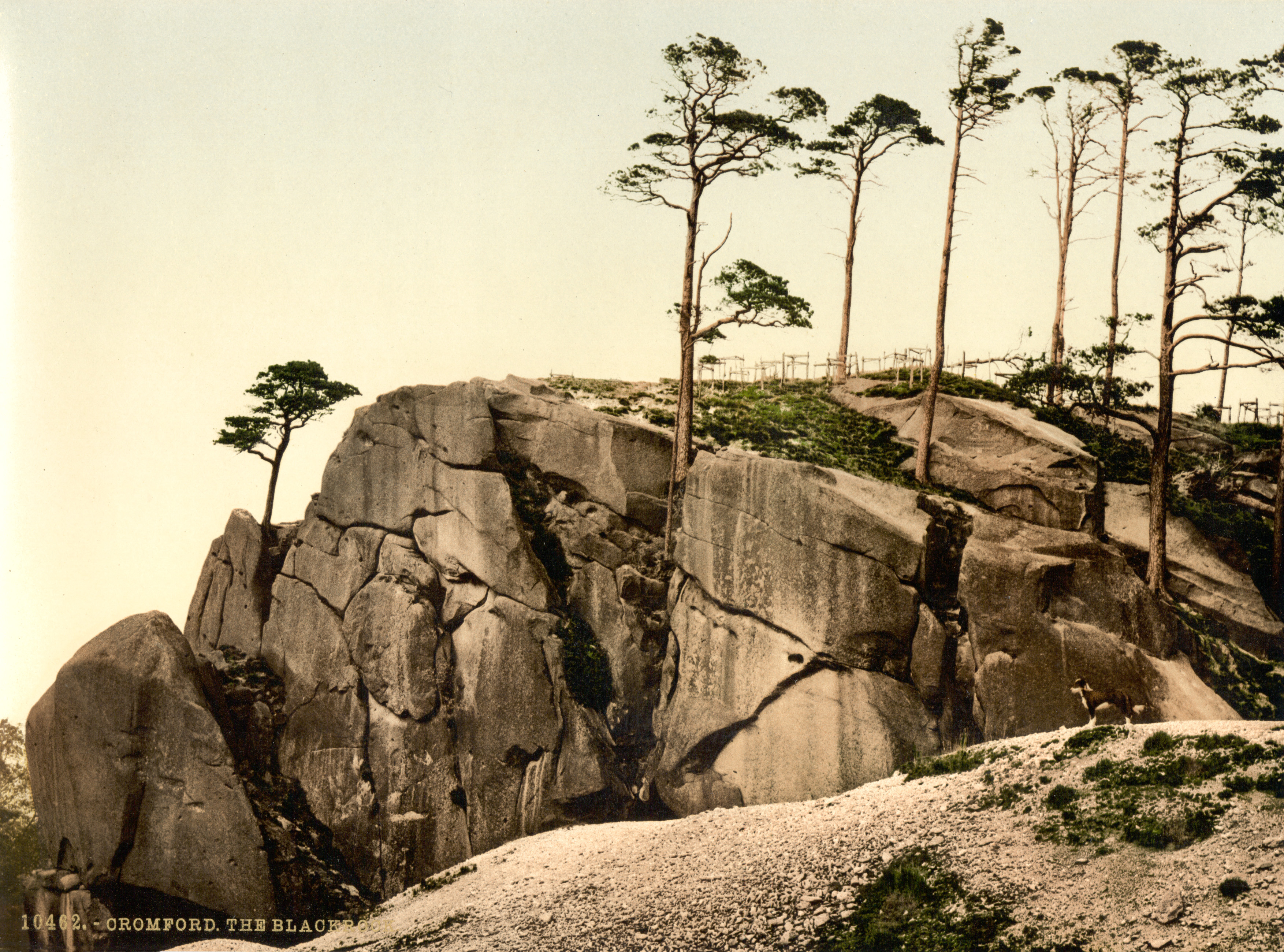 The Black RocksIslet · 1.8 mi