What is recorded here
The official Northern Ireland record identifies this as Cup and ring marked boulder. Recorded period: PREHISTORIC. Recorded protection: Scheduled. The official map point was placed at the centre of the recorded archaeological site from the source map reference.
The monument record does not grant public access. Check the route and ask the landowner before entering private land.
- What survives
- Recorded monument
Places near here
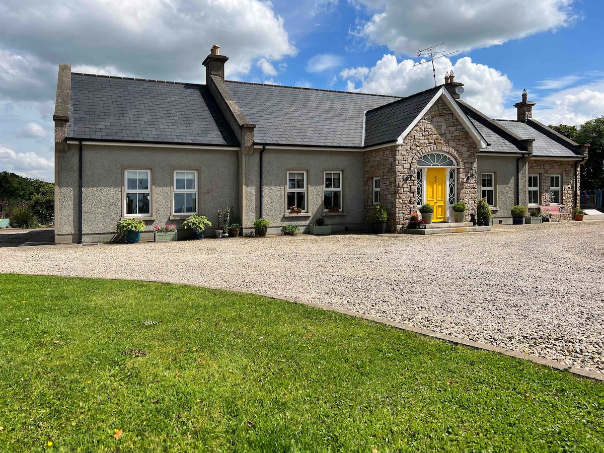 HOLY WELL: TOBERPATRICK in Glen WestHOLY WELL: TOBERPATRICK · 1.3 mi
 HOLY WELL: TOBER NINNY in CallagheenHOLY WELL: TOBER NINNY · 1.7 mi
 MuckinishIsland · 2.8 mi
 Bridge Over Roogagh RiverBridge · 2.9 mi
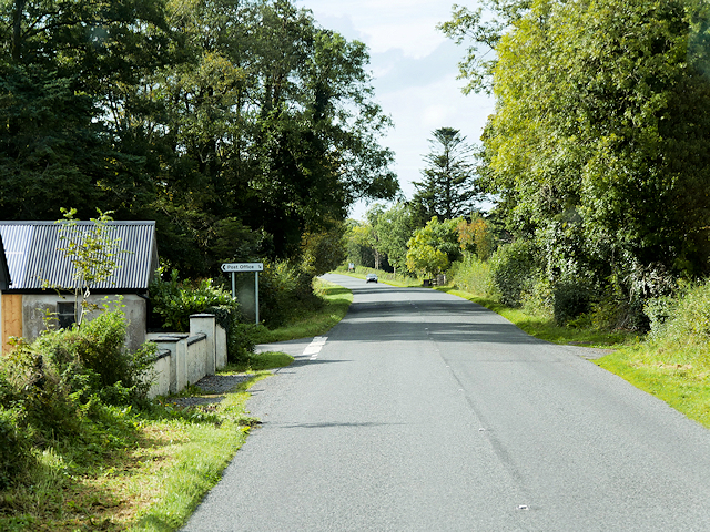 Rosscor IslandIsland · 2.9 mi
 PLANTATION CASTLE: MAGHERAMEENAGH CASTLE in MagherameenaghPLANTATION CASTLE: MAGHERAMEENAGH CASTLE · 3.1 mi
 Belleek PotteryHeritage attraction · 3.9 mi
 Belleek Pottery MuseumMuseum · 4.0 mi
 Big DogMountain / peak · 4.0 mi
 Ross PointHeadland · 4.2 mi
 RSPB Lower Lough Erne IslandsNature reserve · 4.2 mi
 C17TH CHURCH & GRAVEYARD at CASTLE CALDWELL in RossbegC17TH CHURCH & GRAVEYARD at CASTLE CALDWELL · 4.2 mi