What is recorded here
Cumran Lane is recorded as a walking route in County Down. Its open map record supplies this location and any linked names or public references.
- Operator
- Newry, Mourne and Down District Council
Places near here
 CHURCH: RATHCATH (unlocated) in CloughCHURCH: RATHCATH (unlocated) · 797 yd
 Clough CastleCastle · 867 yd
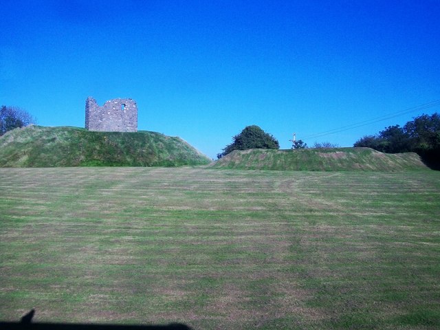 MOTTE & BAILEY AND TOWER-HOUSE: CLOUGH CASTLE in CloughMOTTE & BAILEY AND TOWER-HOUSE: CLOUGH CASTLE · 886 yd
 Clough Presbyterian ChurchChurch · 893 yd
 Seaforde Woodland WalkWalking route · 1693 yd
 ENCLOSURE in ArdileaENCLOSURE · 1.2 mi
 ENCLOSURESENCLOSURES, tree rings? · 1.3 mi
 Man-made underground passageCave · 1.8 mi
 Castle PathWalking route · 2.4 mi
 Dundrum CastleHeritage attraction · 2.4 mi
 Mourne Coastal Route: Dundrum Main StreetVisitor information · 2.6 mi
 Loughinisland massacremassacre · 2.9 mi