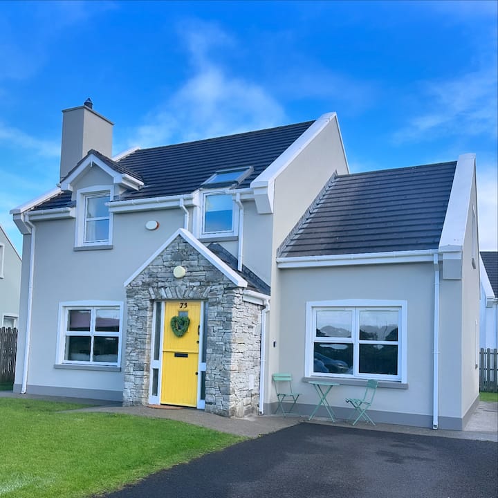
What is recorded here
Oval-shaped enclosure, of ringfort size, marked on current (1903) OS 6-inch map. There are no tree-rings marked on the map within the demesne lands, within which this potential monument is located, indicating that this may be an antiquity rather than a landscape feature.
Compiled by: Caimin O'Brien
Date of upload/revision: : 19 July 2010
The monument record does not grant public access. Check the route and ask the landowner before entering private land.
- What survives
- Recorded monument
Places near here
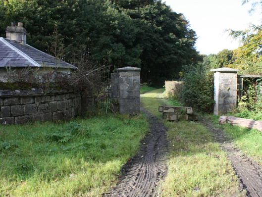 Culdaff Housegates/railings/walls · 213 yd
 Former Dunross EnclosureEnclosure · 472 yd
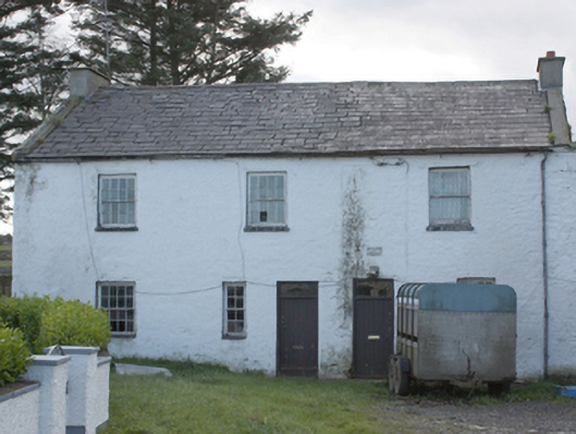 miller's house, mill (water)miller's house, mill (water) · 731 yd
 Grave Yd.Burial ground · 748 yd
 CuldaffOfficial bathing water · 1385 yd
 CastleCastle, unclassified · 1.3 mi
 Tremone BayBeach / strand · 3.6 mi
 Carndonagh Early Church GraveyardGraveyard · 5.1 mi
 The Spanish Armada 1588Memorial · 5.9 mi
 CrockavishaneMountain / peak · 6.0 mi
 CrockaulinMountain / peak · 6.9 mi
 Castle CaryCastle, unclassified · 7.9 mi
Other information
Photo: Credit not shown in the picture search · Rights wording not checked; contact us if this picture should be removed