
What is recorded here
Cuilbeg Fort is a well-preserved stone ringfort on a gentle slope in County Galway, Ireland. Its subcircular wall encloses two raised platforms, one rectangular and one lower, set within the interior. The fort overlookes bogland to the south and southwest, marking a place where human hands shaped the land long before modern fields covered part of its boundary.
On a gentle SE-facing slope overlooking bogland to S and SW. Well-preserved subcircular cashel(E-W 81m, N-S 74m) defined by a stone wall that is overlain by a field wall from W through N to NE. Traces of internal wall-facing are visible at NE, E and SE. Within NE quadrant of the interior is a rectangular raised platform (see GA044-025001-). Immediately to W of it is a second lower platform (E-W 5 m, N-S 4m) of similar character but poorly defined.
The above description is derived from the published 'Archaeological Inventory of County Galway Vol. II - North Galway'. Compiled by Olive Alcock, Kathy de hÓra and Paul Gosling (Dublin: Stationery Office, 1999). In certain instances the entries have been revised and updated in the light of recent research.
Updated by: Olive Alcock
Date of revised upload: 15 September 2015
The monument record does not grant public access. Check the route and ask the landowner before entering private land.
- What survives
- Recorded monument
Places near here
 Barbersfort Housebuilding misc · 425 yd
 Cloonlusk FortArchaeological place · 869 yd
 Cahergal Bridgebridge · 971 yd
 Lisherriddy FortFairy fort / earthen ringfort · 1005 yd
 CastleCastle, unclassified · 1.6 mi
 Barnaderg CastleCastle · 2.2 mi
 Knockmoy AbbeyHeritage attraction · 2.6 mi
 Common WhitebeamCommon Whitebeam · 4.9 mi
 SycamoreSycamore · 4.9 mi
 Mass RockNamed rock · 7.5 mi
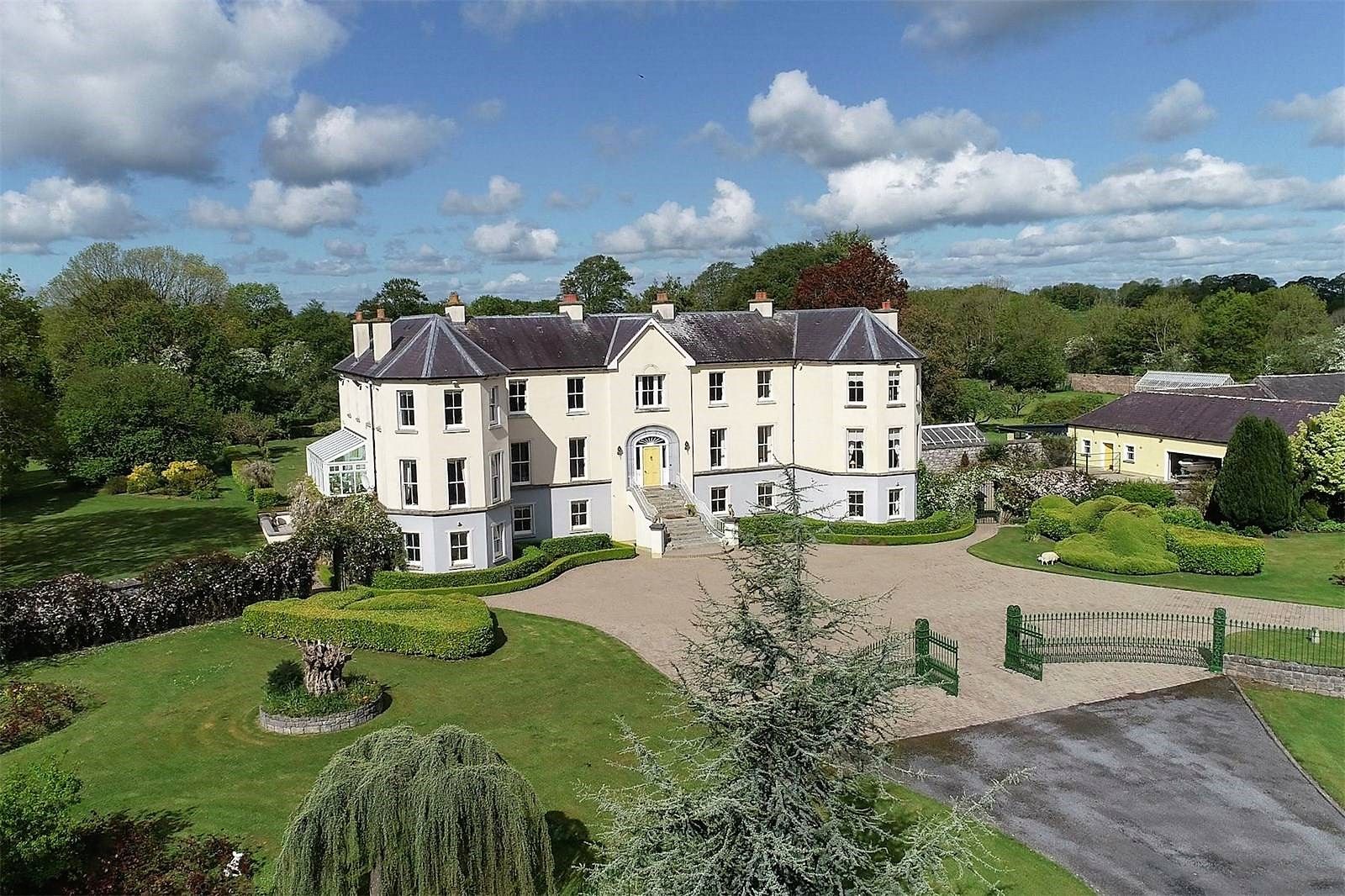
 Barbersfort Ho.House, 18th/19th century · 1066 yd
 Grange Church (in ruins)Church · 1.4 mi
Other information
Photo: Credit not shown in the picture search · Rights wording not checked; contact us if this picture should be removed