What is recorded here
No giant ever washed ashore at Cruit Island. Radiocarbon dating placed the young man in the Early Medieval period, centuries before local memory began shaping his story. He was tall by ordinary standards, his spine worn by hard work, and he belonged to the island long before sailors or councils arrived. The tragedy is not that he was forgotten but that people invented a giant because a real young man seemed smaller than their wonder wanted.
Located on a low, rocky oval hillock, (c. 60m NE−SW; c. 45m NW−SE) E of centre on Cruit Island, 70m W of a beach. The hillock is cut by a road on its E side.
In February 1954 human skeletal remains were uncovered by workers for Donegal County Council digging for sand on the hillock. It was reported that the body was extended E−W in an unlined pit dug into sand and gravel. No associated grave-goods or grave-markers were found. According to local tradition, a sailor of great size, washed ashore on the island c. 100-200 years previously, had been buried in this general vicinity, and it was thought likely that this burial was that of the drowned sailor. The site was reported to the Gardaí at Burtonport, and the remains were examined by a pathologist, who noted that the individual was unusually tall, estimating a stature of 7 feet, 9 inches. The Gardaí informed the NMI, but as there was no obvious archaeological context, the site was not visited (Cahill and Sikora 2011, vol. 2, 466). The remains were subsequently interred in the island cemetery, Reilig Naomh Bridhge.
In November 2017 the remains were exhumed as part of a research project initiated at Queen’s University Belfast on incidences of gigantism in Ireland (McSparron and Murphy 2018). Osteological analysis revealed, however, that the individual was not a giant. The bones were those of a young adult male (18-35 years) with a height of 186.1 cm +/- 3.27 cm, equating to c. 6 foot 1 inch. Pathologies (Schmorl’s nodes and spondylolysis) noted on the vertebrae suggest that the man had lived an arduous physical existence. A bone sample submitted for radiocarbon dating returned a date of 1401 ± 27 BP. This calibrates to a calendar date in the Early Medieval period within the range AD 603-685 (95.4% probability) or AD 630-658 (68.3% probability) (McSparron and Murphy 2018, Appendix 1).
Following the investigation, the remains were placed in a new coffin and reburied. (McSparron and Murphy 2018)
Compiled by: Jane O'Shaughnessy
Date of revised upload: 27 June 2018
The monument record does not grant public access. Check the route and ask the landowner before entering private land.
- What survives
- Recorded monument
Places near here
 St. Bridgets WellsHoly well · 409 yd
 An ChruitIsland · 432 yd
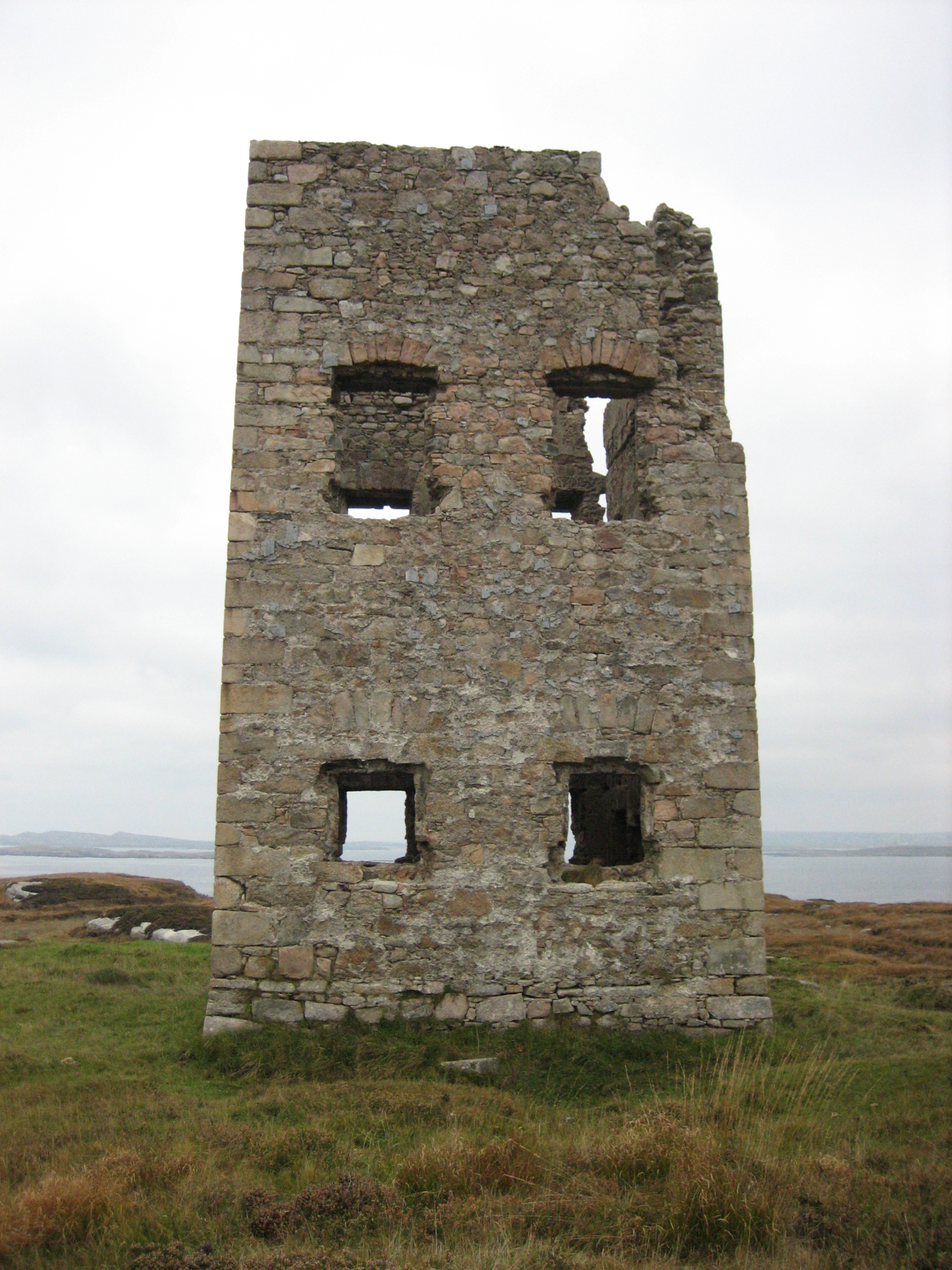 Mullaghderg Signal Towersignal tower · 1.0 mi
 Saint Mary's Catholic Churchchurch/chapel · 1.1 mi
 Altar (Site of)Penal Mass station · 1.2 mi
 Rinnalea Point / Na Reanna LiathaHeadland · 1.3 mi
 UaighIsland · 2.1 mi
 Cliffs of OweyPublicly named cliff or headland · 2.4 mi
 CarrickfinnOfficial bathing water · 2.8 mi
 Shipwreck beachBeach / strand · 3.2 mi
 Braade StrandBeach / strand · 3.4 mi
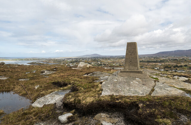 Annagary HillMountain / peak · 4.0 mi