
What is recorded here
Kilbroney holds two crosses, a multiperiod church, graveyards and a holy well named for St Bridget, marking continuous worship from early Christian times through the medieval and post-medieval periods. The site has watched generations bury their dead, pray at the well and leave crosses behind, while the exact age of some parts remains uncertain. Its scheduled protection acknowledges that the ground itself remembers what written history forgets.
The official Northern Ireland record identifies this as CROSSES (2); MULTIPERIOD CHURCH; GRAVEYARDS; HOLY WELL: KILBRONEY or ST.BRIDGET'S WELL. Recorded period: LATE-MED; POST-MED; MEDIEVAL; E.CHRIST.; UNCERTAIN. Recorded protection: Scheduled. The official map point was placed at the centre of the recorded archaeological site from the source map reference.
The monument record does not grant public access. Check the route and ask the landowner before entering private land.
- What survives
- Recorded monument
Places near here
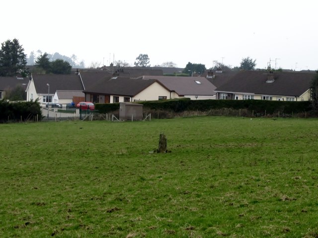 Kilbroney Standing StoneArchaeological place · 179 yd
.jpg?width=1280) Kilbroney HouseHouse · 369 yd
Kilbroney HouseHouse · 369 yd Ballymoney WoodForest · 1009 yd
 The Fairy GlenWalking route · 1208 yd
 CHURCH in RosstrevorCHURCH · 1680 yd
 ENCLOSURE in BallymoneyENCLOSURE · 1.1 mi
 Rostrevor ForestForest · 1.1 mi
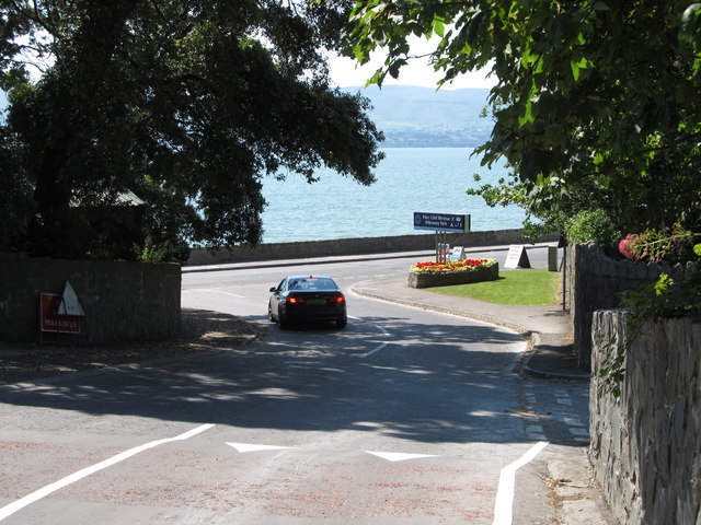 Kilbroney ParkVisitor information · 1.2 mi
 FORTIFICATION: TREVORS CASTLE (unlocated) in RosstrevorFORTIFICATION: TREVORS CASTLE (unlocated) · 1.4 mi
 SlievemartinMountain / peak · 1.4 mi
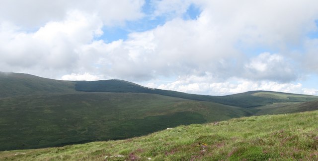 SlievemeelMountain / peak · 1.6 mi
 Dobbin's PointHeadland · 2.0 mi
Other information
Photo: Eric Jones · CC BY-SA 2.0