What is recorded here
Described by Herity (1995, 98, No. 05) as follows: ‘Slab, 42cm tall, 26cm wide and 7cm thick, with gabled apex and cross-motifs carved on both broad faces, standing earthfast close to the well-house on its north-east side.
Face A (north-east): Filling most of the face of this slab is an elaborate wreathed chi-rho symbol, 42.5cm tall and 26.5cm across the arms, carved in double outline. The rho is marked by a rounded hook to the right at the top of the stem and a less developed hook to the left which ends with an elongated descender which stands out boldly in relief. The quadrants of the wreath do not describe a complete circle; each is apparently carved independently and has a somewhat rectilinear outline.
Face B (south-west): Near the apex an incised equal-armed cross, 17cm tall by 15cm across the arms, with expanded T-bar terminals on all limbs stands at the centre of an incised circle, 21.5 to 23cm in diameter.’ (Walsh 1983, 61 (B), Fig. 21,b,c)
Compiled by: Paul Walsh
Date of upload: 2 February 2014
Image DG089-018018-_01 (taken 21 July 1983): Face A.
Probably dates to the early medieval period, given the carved cross-motifs on both faces, suggesting a Christian context. Such cross-slabs were often associated with ecclesiastical sites or used as markers for holy wells, possibly indicating a place of local worship or pilgrimage.
The monument record does not grant public access. Check the route and ask the landowner before entering private land.
- What survives
- Recorded monument
Places near here
 Church in Reachlainn Uí BhirnChurch · 26 yd
 Rathlin O'Birne IslandIslet · 179 yd
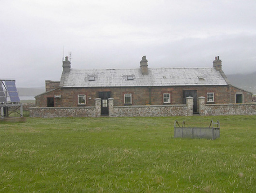 Teach Solais an Reachlainn Uí Bhirnoutbuilding · 487 yd
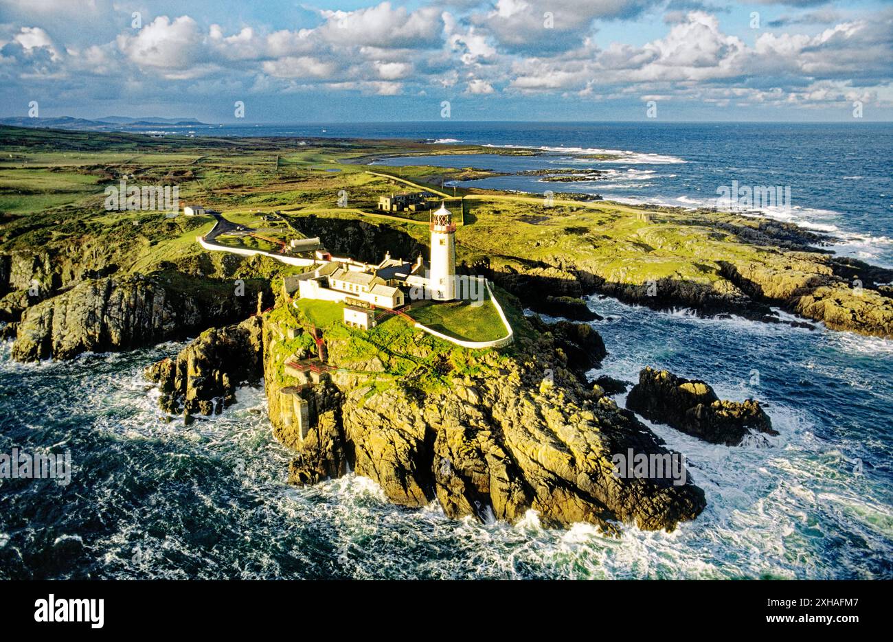 An EibhearIslet · 594 yd
 Trabane Bay Coastal Promontory FortPromontory fort, coastal · 1.3 mi
 Malin Beg Signal TowerSignal tower · 1.3 mi
 Silver Strand ViewpointViewpoint · 1.9 mi
 An Trá BhánBeach / strand · 2.0 mi
 Rossan PointHeadland · 3.1 mi
 An Trá Bheag (Trá Bheag an Ghleanna)Beach / strand · 4.4 mi
 Glencolmcille Folk VillageMuseum · 4.5 mi
 Slieve LeagueMountain / peak · 4.8 mi