What is recorded here
Situated on a gentle SW-facing slope. The modern housing estate which now occupies most of the site is believed locally to be built on the site of a church and graveyard. Not visible at ground level. The 1907 OS 6-inch map shows an approximately semicircular curve in the field boundary which may represent the line of an enclosure and the adjacent field is named 'Glebe' on the 1838 edition. A cross-slab (H 1.22m), said to be situated in the graveyard (O'Flanagan 1928, 28), stands to the E of the estate between it and the road. It has an irregular cross in relief on the upper part of one face flanked under the arms by two raised bosses.
The above description is derived from the published 'Archaeological Inventory of County Wicklow' (Dublin: Stationery Office, 1997). In certain instances the entries have been revised and updated in the light of recent research.
Date of upload/revision: 01 February 2013
Likely dating to the early medieval period, the cross-slab may have been part of a Christian settlement or ecclesiastical site, possibly associated with the local folklore of a former church and graveyard. Such stones often served as grave markers or commemorative monuments.
The monument record does not grant public access. Check the route and ask the landowner before entering private land.
- What survives
- Recorded monument
Places near here
 Church in Kilbride (rathdown By.)Church · 10 yd
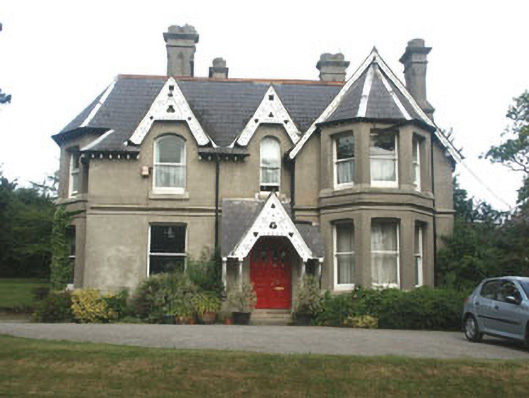 The Old Rectoryrectory/glebe/vicarage/curate's house · 403 yd
 Oldcourt CastleCastle · 622 yd
 Cross (Socket Stone)Cross, High cross (present location) · 648 yd
 Germans WoodWood · 713 yd
 Font in BrayFont · 932 yd
 IndicatedCastle, tower house · 1267 yd
 European YewEuropean Yew · 1740 yd
 Christopher ThompsonMemorial · 1.0 mi
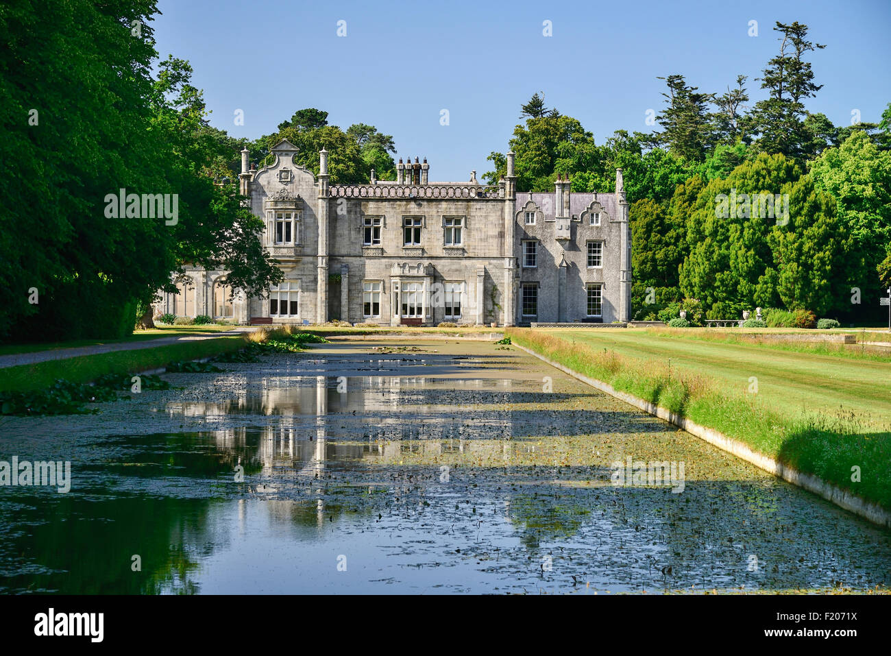 Kilruddery House and GardensHeritage attraction · 1.1 mi
 Graveyard in BallymanGraveyard · 1.3 mi
 Lover's LeapNamed rock · 1.4 mi