What is recorded here
Conry church ruins (WM025-005001-) stands inside an Early Christian ecclesiastical enclosure on a natural rise of ground surrounded by poorly drained land known as the 'Island of Conry'. On the 1656-9 Down Survey map of Churchtown parish this townland was known as 'Conry & Cloghoule' (NLI, MS 723-4), the latter was anglicised to the present Croughal which lies in the parish of Churchtown. In 1641 the lands of Conry and Cloghoule belonged to Henry Dalton who is listed in the Down Survey as an 'Irish papist' (ibid.).
A cross-inscribed slab (WM025-005004-) is located immediately S of the broken out doorway into Conry Church (WM025-005001-) and its location is indicated on a plan of the church and earthworks (SMR file). A second cross-inscribed graveslab (WM025-005003-) lies 8m NW of Conry church ruins.
See attached plan for location of cross-slab, site plan surveyed and drawn by the ASI
Compiled and revised by: Caimin O'Brien
Date of revised upload: 05 March 2019
Dateable to the Early Christian period, the cross-slab in Croughal likely served a liturgical or commemorative function within the ecclesiastical site. Such stones often carried Christian iconography and may have marked burials or important religious events.
The monument record does not grant public access. Check the route and ask the landowner before entering private land.
- What survives
- Recorded monument
Places near here
 Partially indicatedEcclesiastical enclosure · 77 yd
 Boleyvillish CastleCastle · 566 yd
 Site of CastleCastle, unclassified · 1193 yd
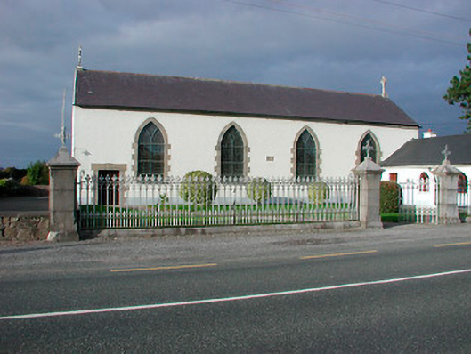 Catholic Church of the Assumptionchurch/chapel · 1345 yd
 Font (present location) in TogherstownFont (present location) · 1346 yd
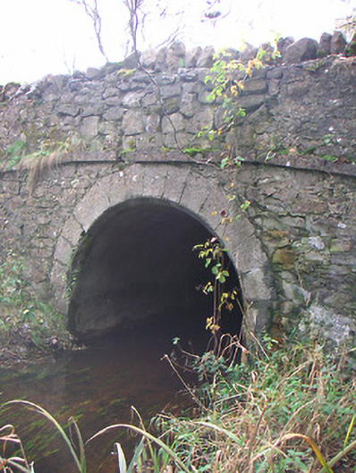 Corr Bridgebridge · 1384 yd
 Hill of UisneachMountain / peak · 1.2 mi
 European ashEuropean ash · 2.1 mi
 Ancient Ring FortWood · 2.6 mi
 KnockastiaMountain / peak · 5.5 mi
 Abbeyshrule AbbeyRuins · 7.6 mi
 Guest ServicesVisitor information · 8.2 mi