What is recorded here
An almost complete cross-slab (RO056-007003-) and fragments of nine others are displayed in the graveyard, but three recorded slabs are not present. This lost slab was described (Crawford, 1913, 160, c) as '11 by 5.5 inches (c. 28cm x 14cm) showing the corner of a square panel contining an encircled cross or four-pointed star formed of circular arcs.' (Herity et al. 1997, 115, 015, Cloonburren 12)
Compiled by: Michael Moore
Date of upload: 20 October 2014
Probably dating to the early medieval period (5th–11th century), the cross-slab likely served a Christian funerary or commemorative function, reflecting the spread of Christianity in the region. Such stones often carried religious symbols or inscriptions, though their specific folklore or dedications are rarely recorded.
The monument record does not grant public access. Check the route and ask the landowner before entering private land.
- What survives
- Recorded monument
Places near here
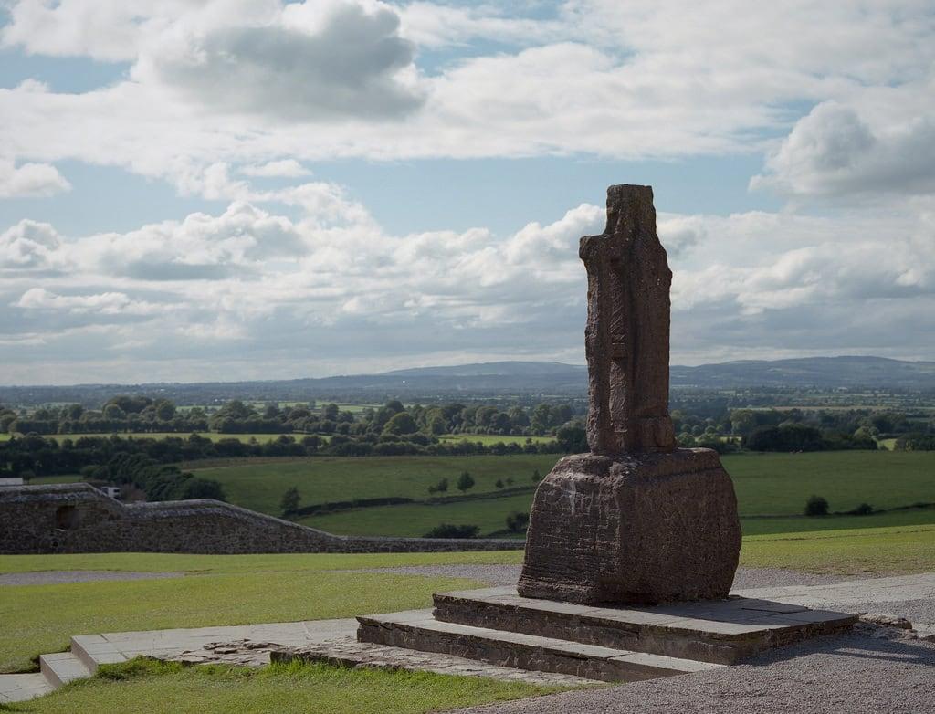 Cross (present location) in CloonburrenCross (present location) · 1 yd
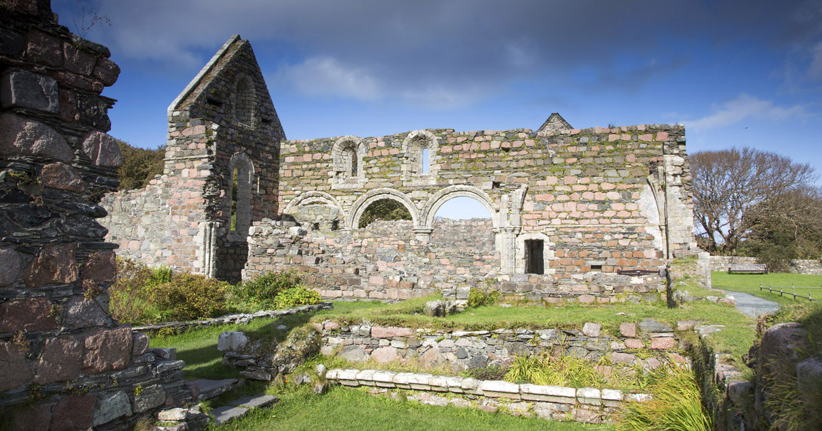 Religious house nunneryReligious house nunnery, unclassified · 14 yd
 Cross in CloonburrenCross · 67 yd
 Cloonburren MoteCastle, motte and bailey · 763 yd
 CastleCastle, unclassified · 1.0 mi
 Devenish IslandIsland · 1.2 mi
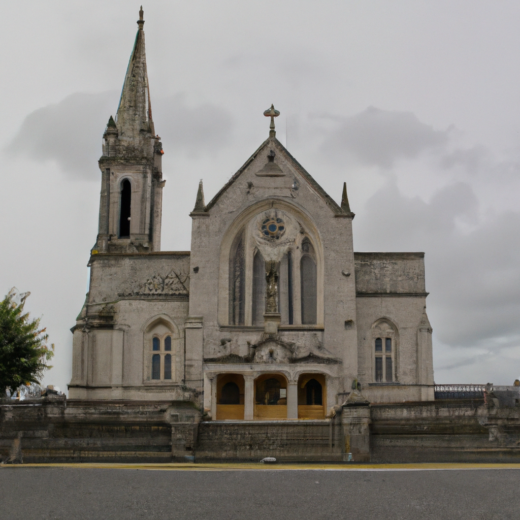 Church (in Ruins)Church · 1.6 mi
 Split HillMountain / peak · 1.7 mi
 Long IslandIsland · 2.0 mi
 Shannonbridge - Nearby AttractionsVisitor information · 2.4 mi
 HawthornHawthorn · 2.4 mi
 Sugarloaf HillMountain / peak · 2.7 mi